A³-team @ ATom
Austrian Airborne Aerosol Measurements at Atmospheric Tomography Mission (ATom)
The NASA-sponsored ATom airborne field experiment investigates how human emissions affect air quality and climate change in the atmosphere by making measurements with the DC-8 research aircraft that will fly from near the North Pole down the middle of the Pacific Ocean, to the edge of Antarctica and back up the Atlantic Ocean.
![]()
In this photo blog, we – Bernadett Weinzierl, Maximilian Dollner and Nikolaus Foelker – report about the preparations for ATom-3 and our measurements during the third ATom deployment in fall 2017. Details about the project including a detailed project description, participants and mission calendar can be found on the ATom project homepage.
Contact: Univ.-Prof. Dr. Bernadett Weinzierl
We were very happy, to be well prepared for the ATom-3 deployment.
If you want to follow the NASA DC-8 during the flights on a map you can use the following link:
28 October 2017: Final run
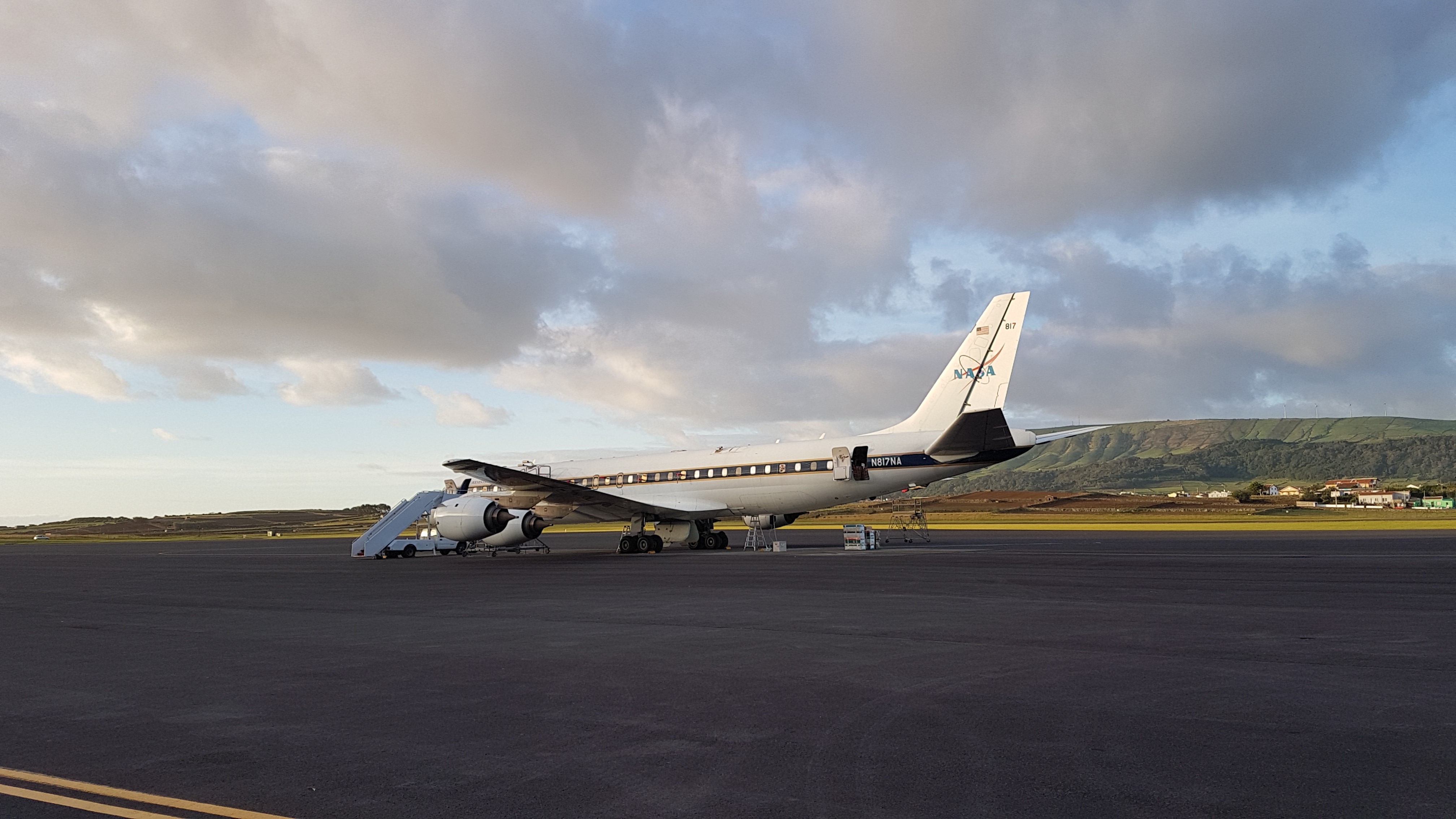
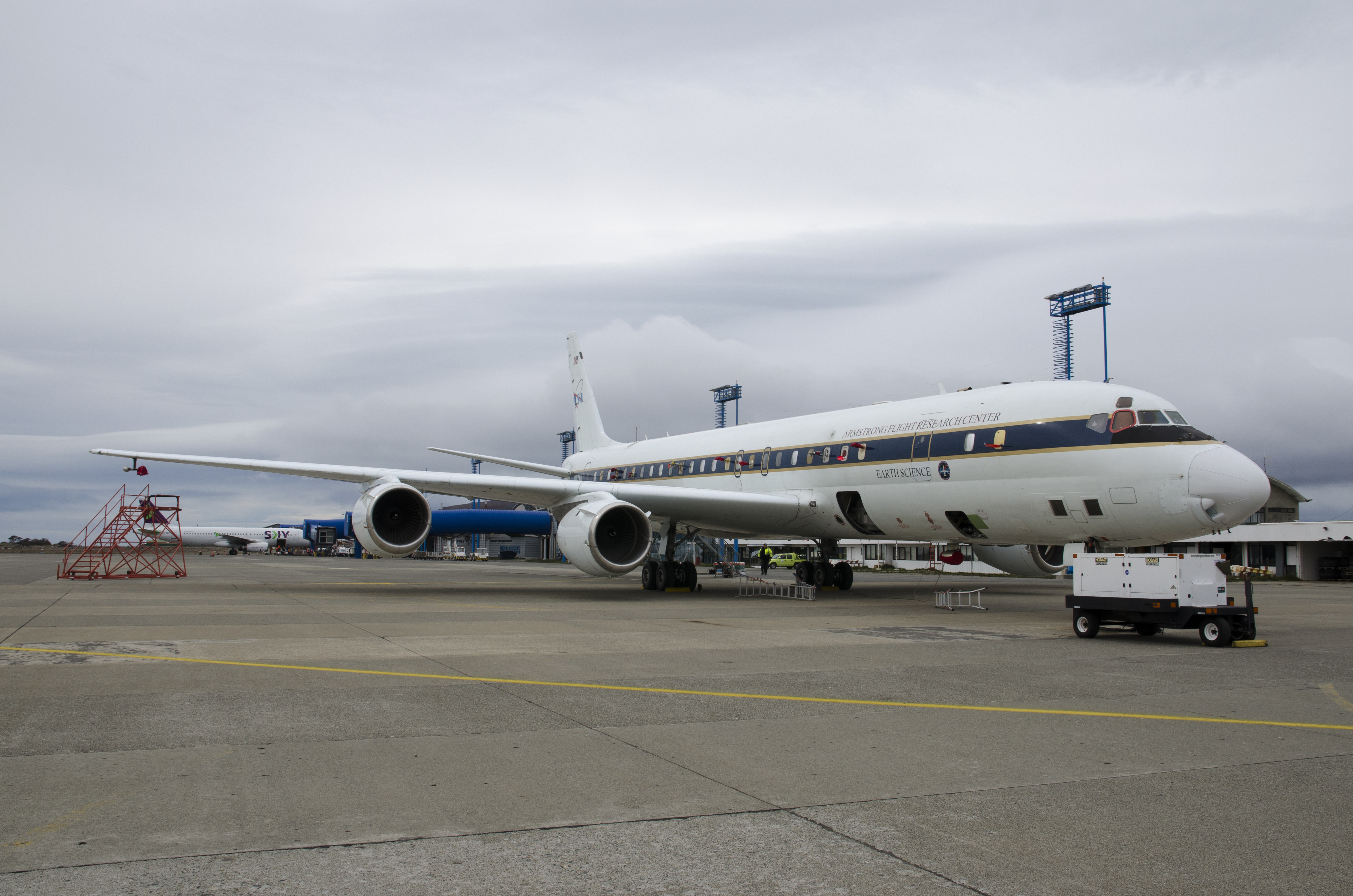
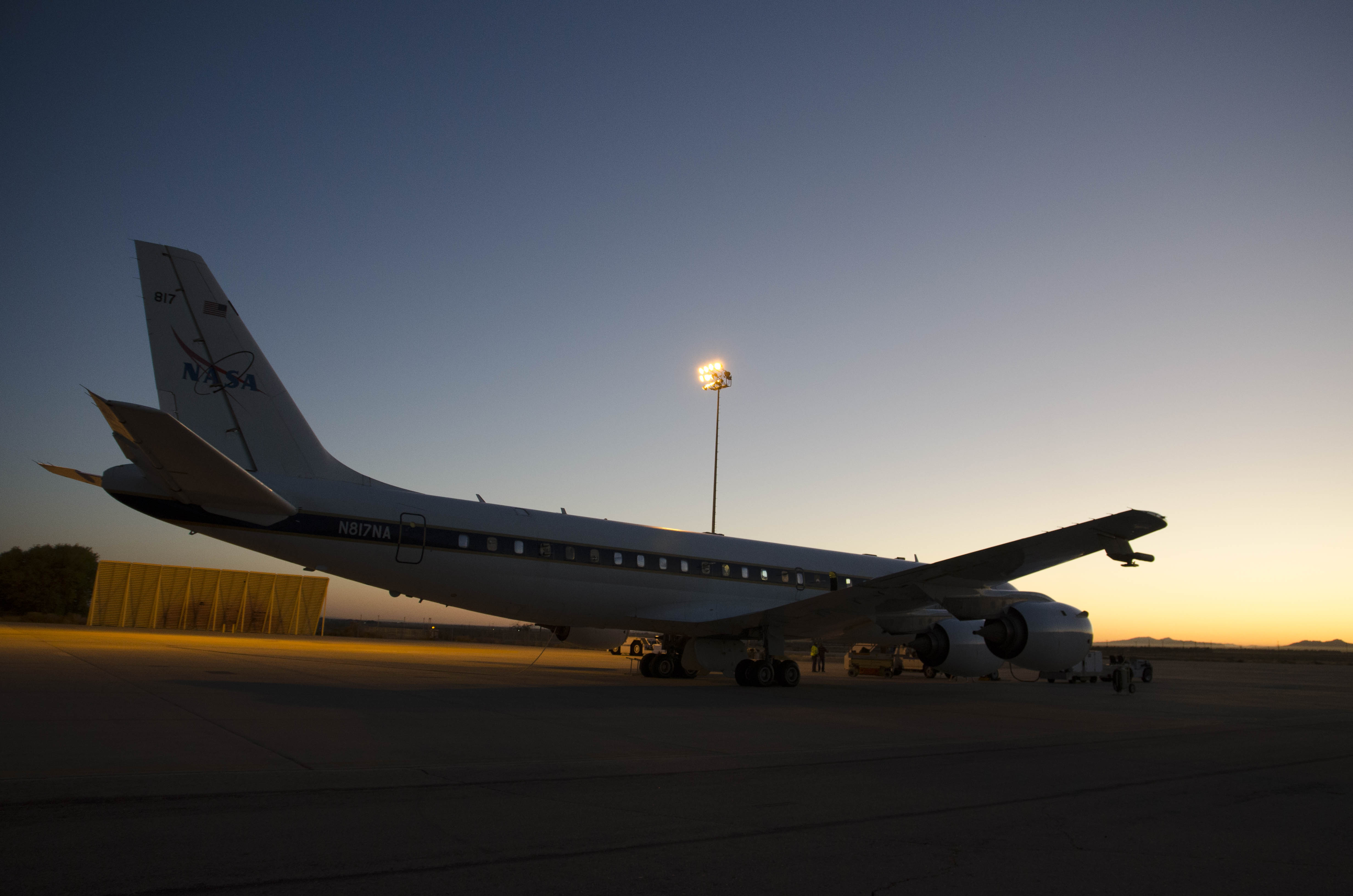
Our final ATom-3 flight back to the DC-8 base in Palmdale starts unfortunately with some delay. Nevertheless, we are able to fulfill all objectives for this last flight. After one month, we are happy to come back with another huge dataset of atmospheric measurements from pole-to-pole over the Pacific and Atlantic Ocean.

Back in Palmdale: ATom-3 team in front of the DC-8.
25 October 2017: Closing the loop around the world
21 days ago, we started from Anchorage southwards the Pacific Ocean. Today we fly from Bangor to Anchorage and close our loop around the world. But before we land in Anchorage, we fly northwards to a latitude of 80° north. There are several biomass burning plums, which we fly through while profiling the atmosphere. During the low levels of that flight we see one more time the beautiful landscape of the Arctic. On our way to Anchorage, we perform a low approach at the airport of a small north Alaskan town called Deadhorse.
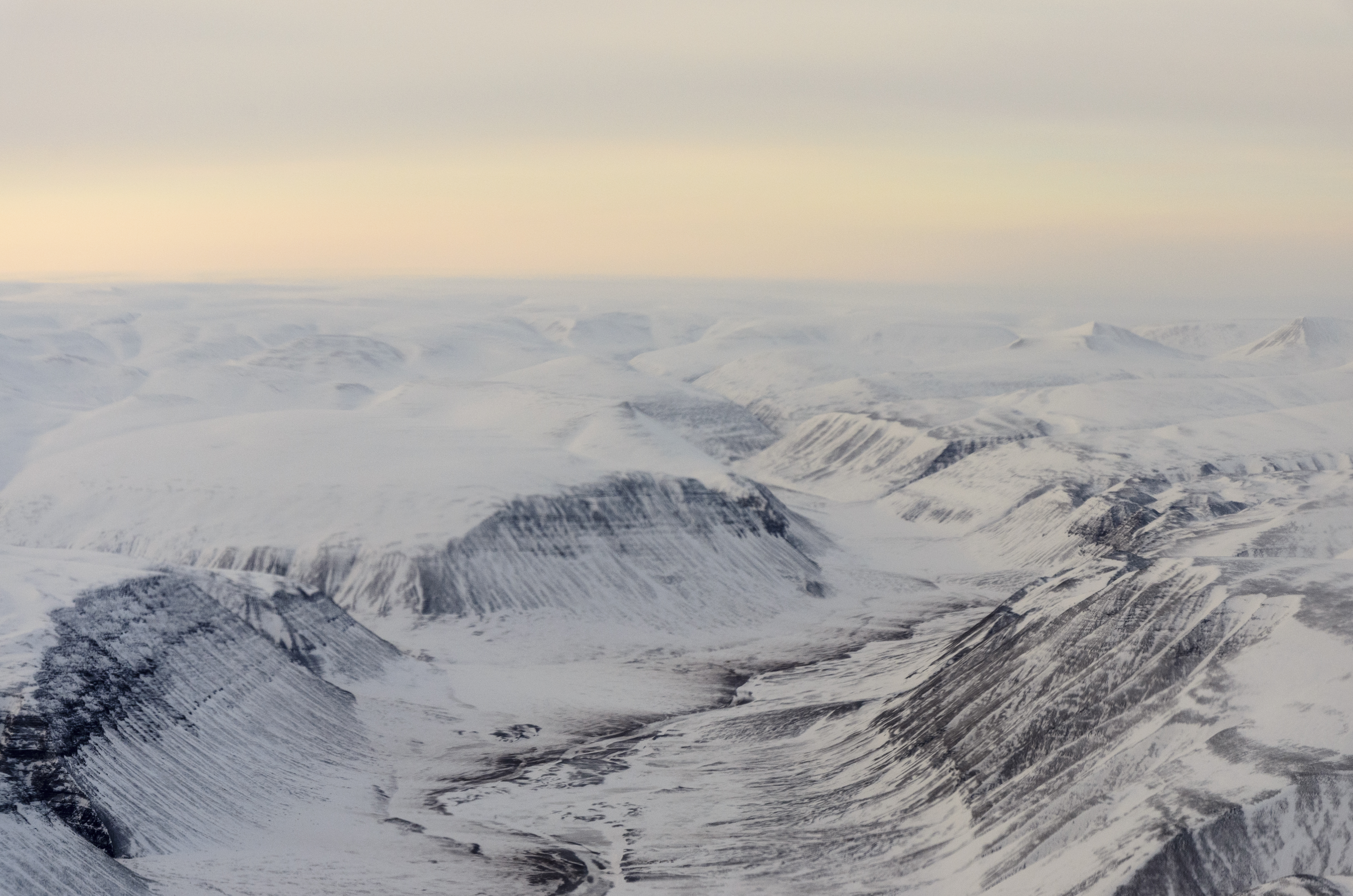
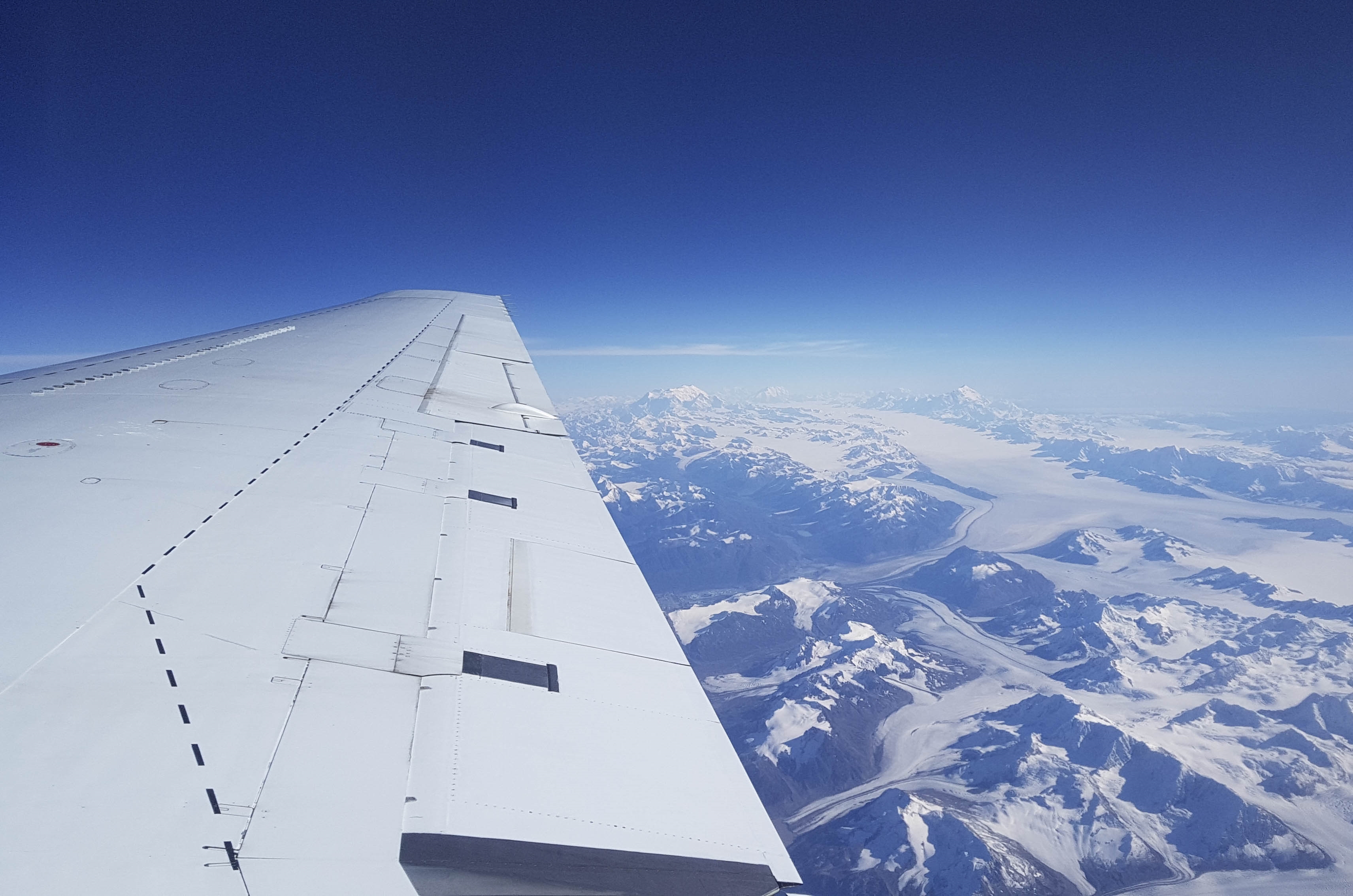
Glaciers and Mountains of Greenland.
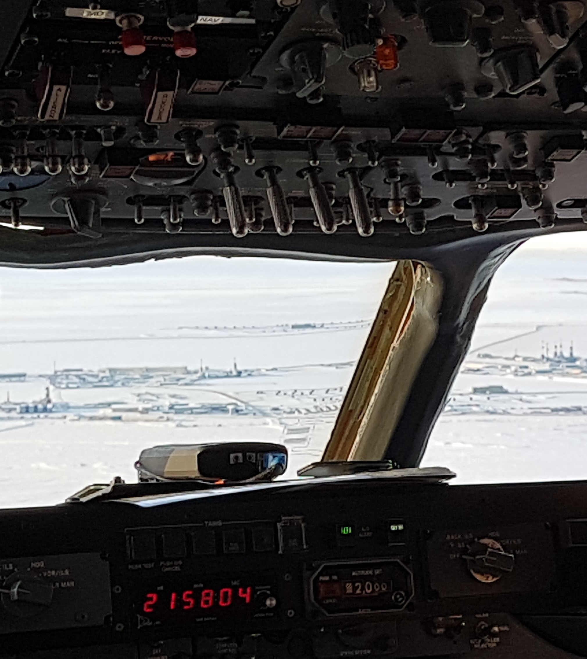
Cockpit view during the low approach to Deadhorse.
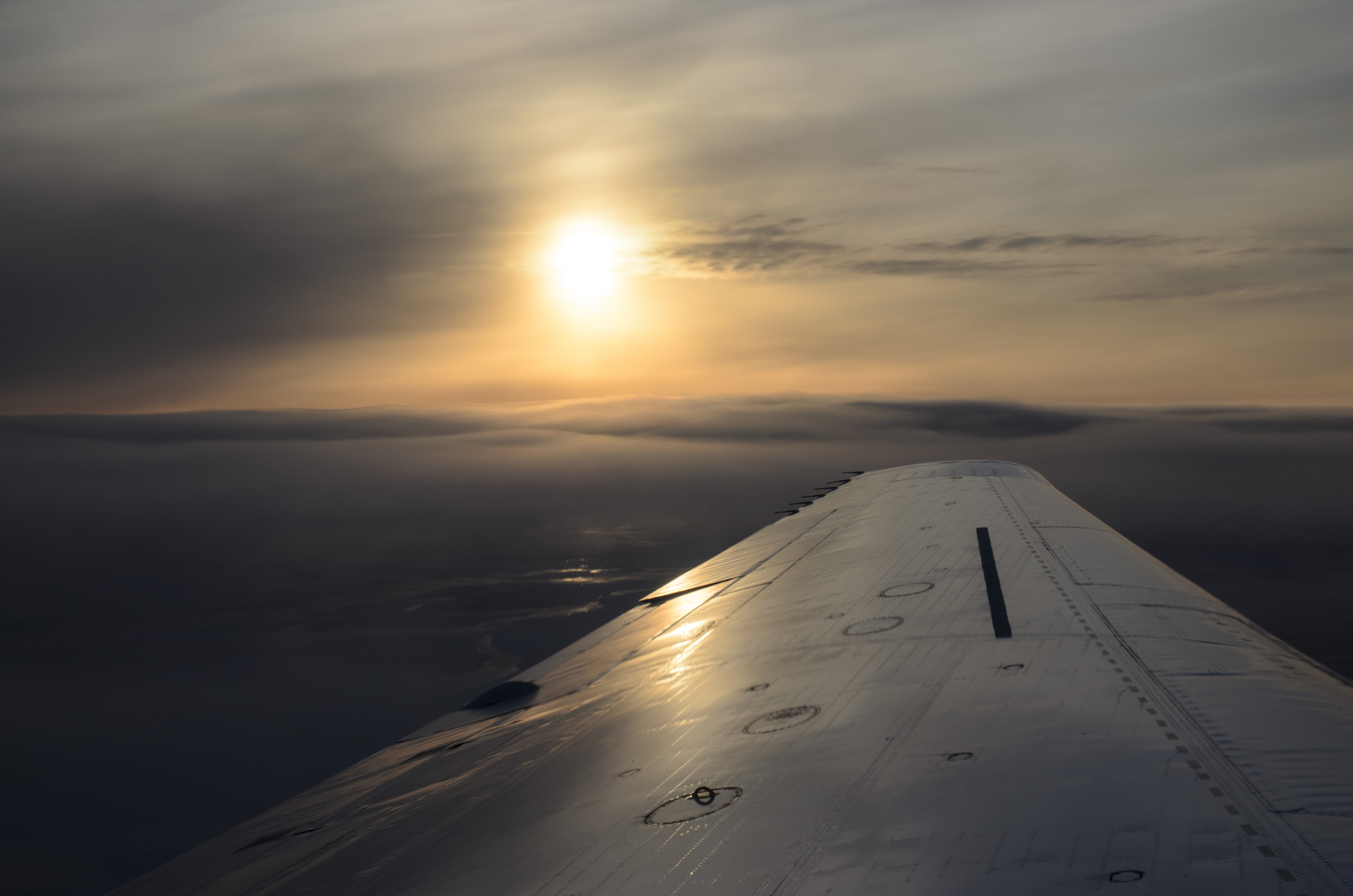
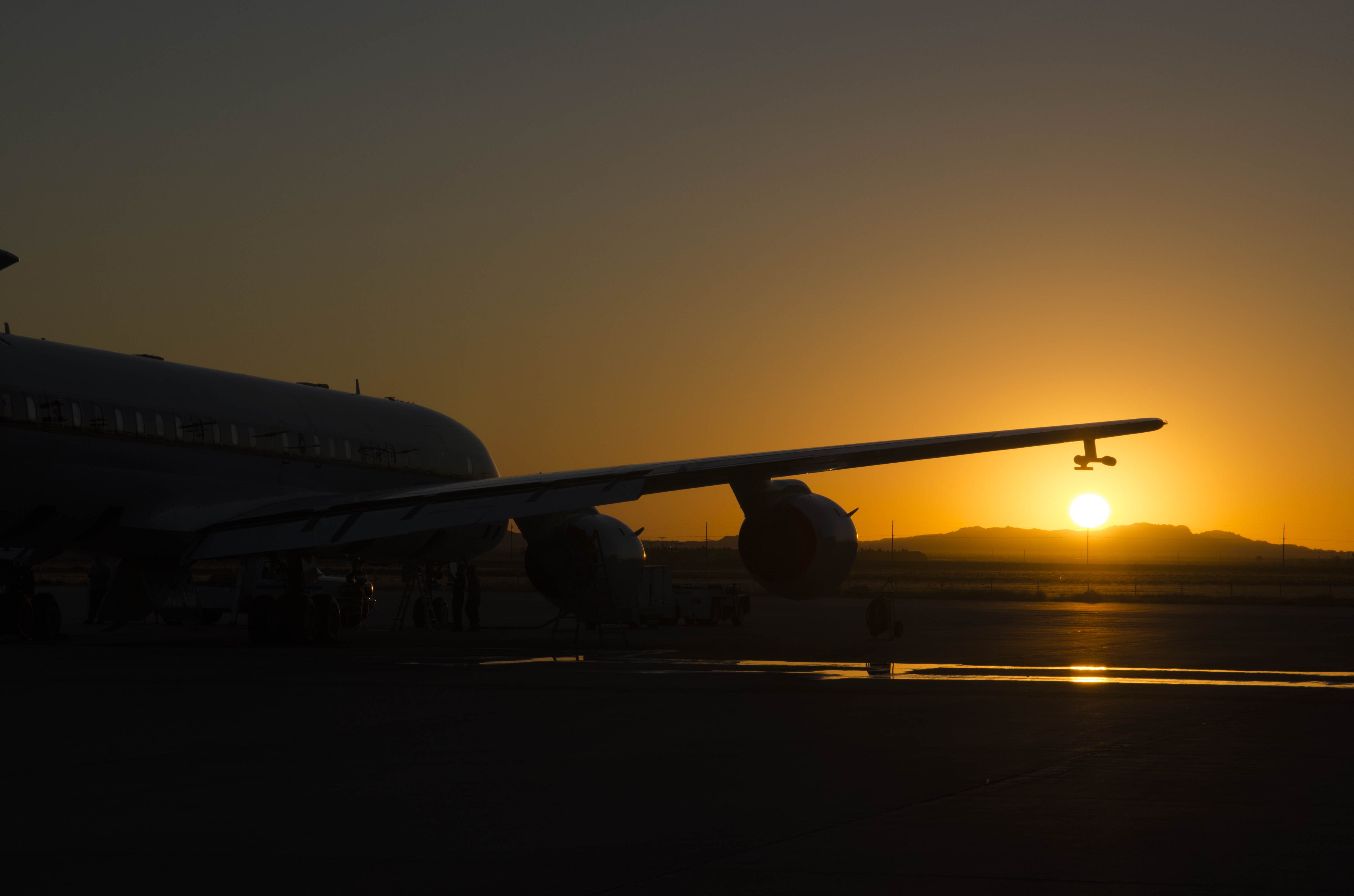
Sunset in the Arctic.
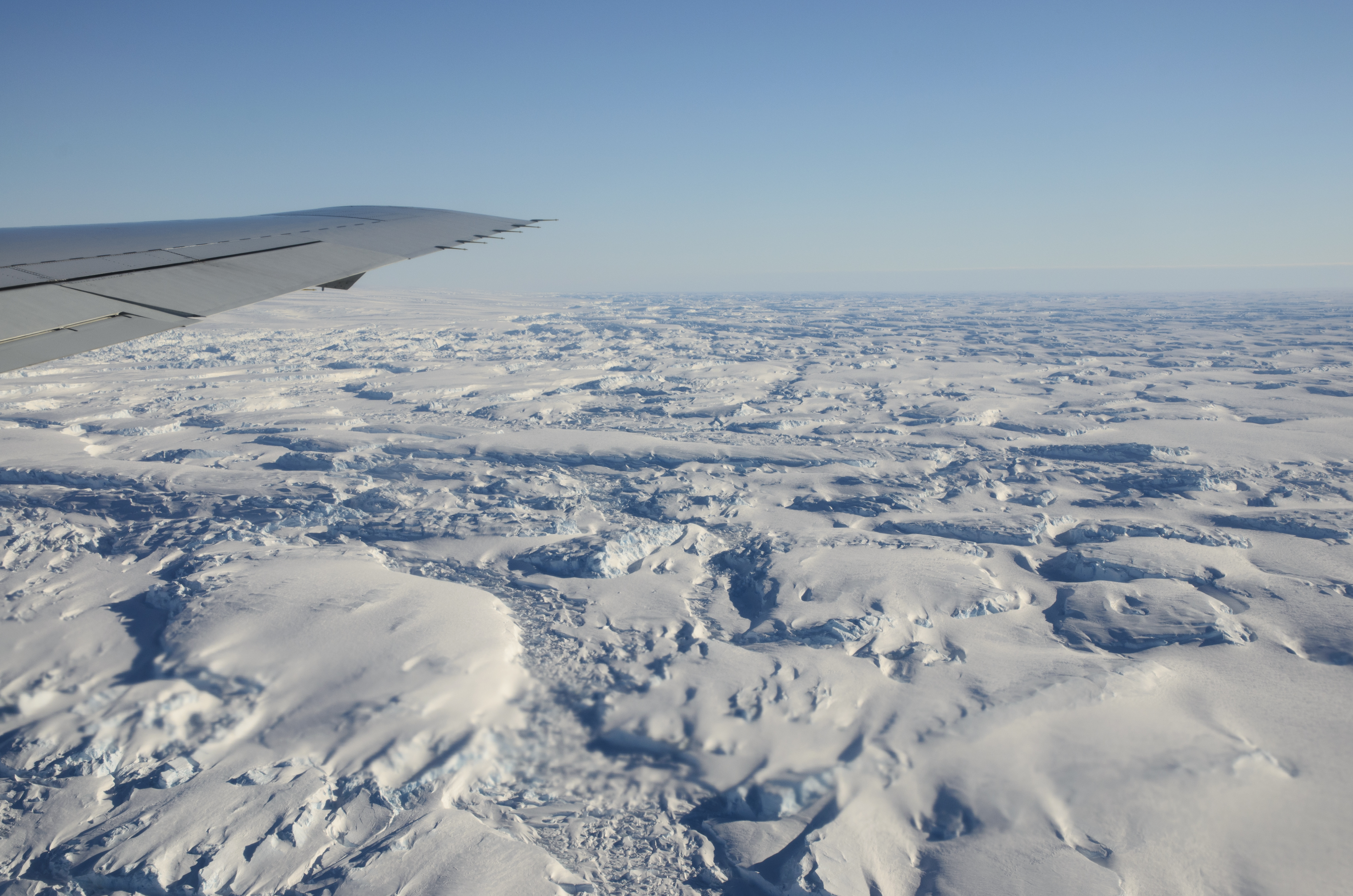
23 October 2017: Greenland, but only from above
Due to the upcoming bad weather conditions we have to modify our flight plan and instead of Thule, Greenland, we will land in Bangor, Maine, USA. Nevertheless, we are able to fly above Greenland. On one of the profiles during our way to Greenland we experience very high wind speeds (70 – 120 km/h) in the mixed layer above the ocean, which result in very high concentrations of boundary layer coarse mode aerosol. Over Greenland we get an amazing view on glaciers and mountains. We are very luck that it is possible to fly very low along a canyon of Greenland’s mountain.
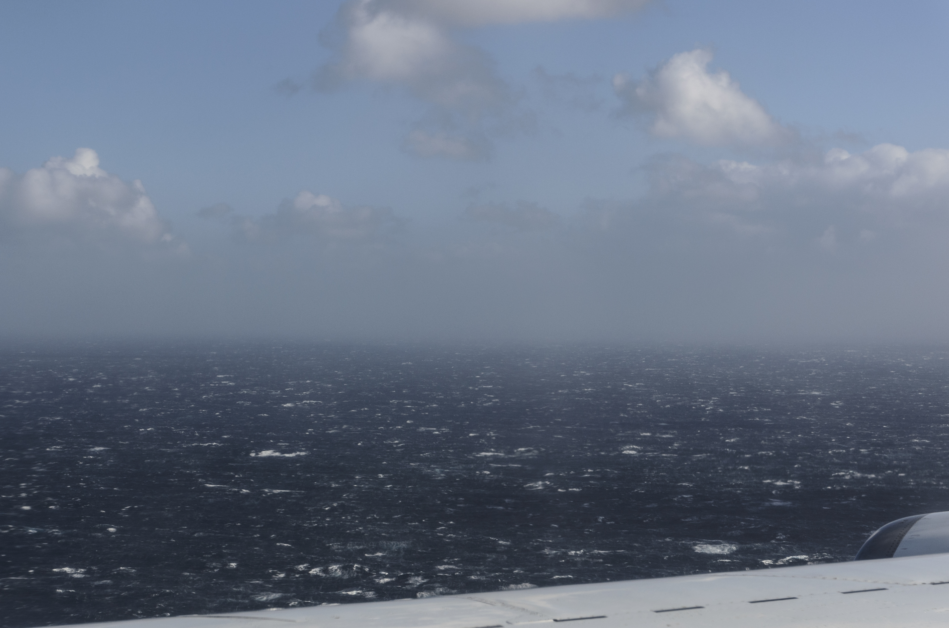
Rough sea with lots of whitecaps indicate very high wind speeds.
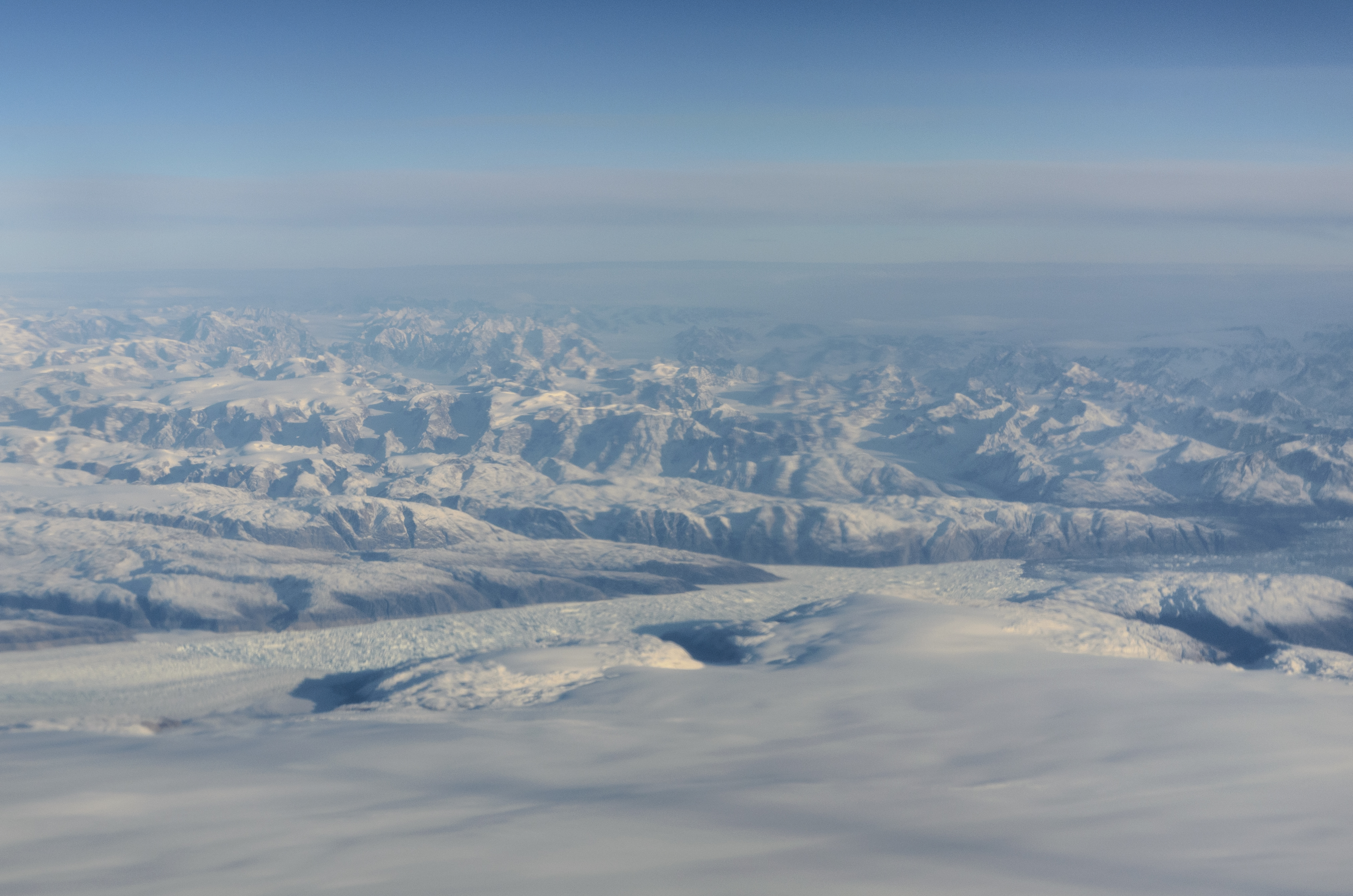
Very nice view on Greenlands glaciers and mountains.

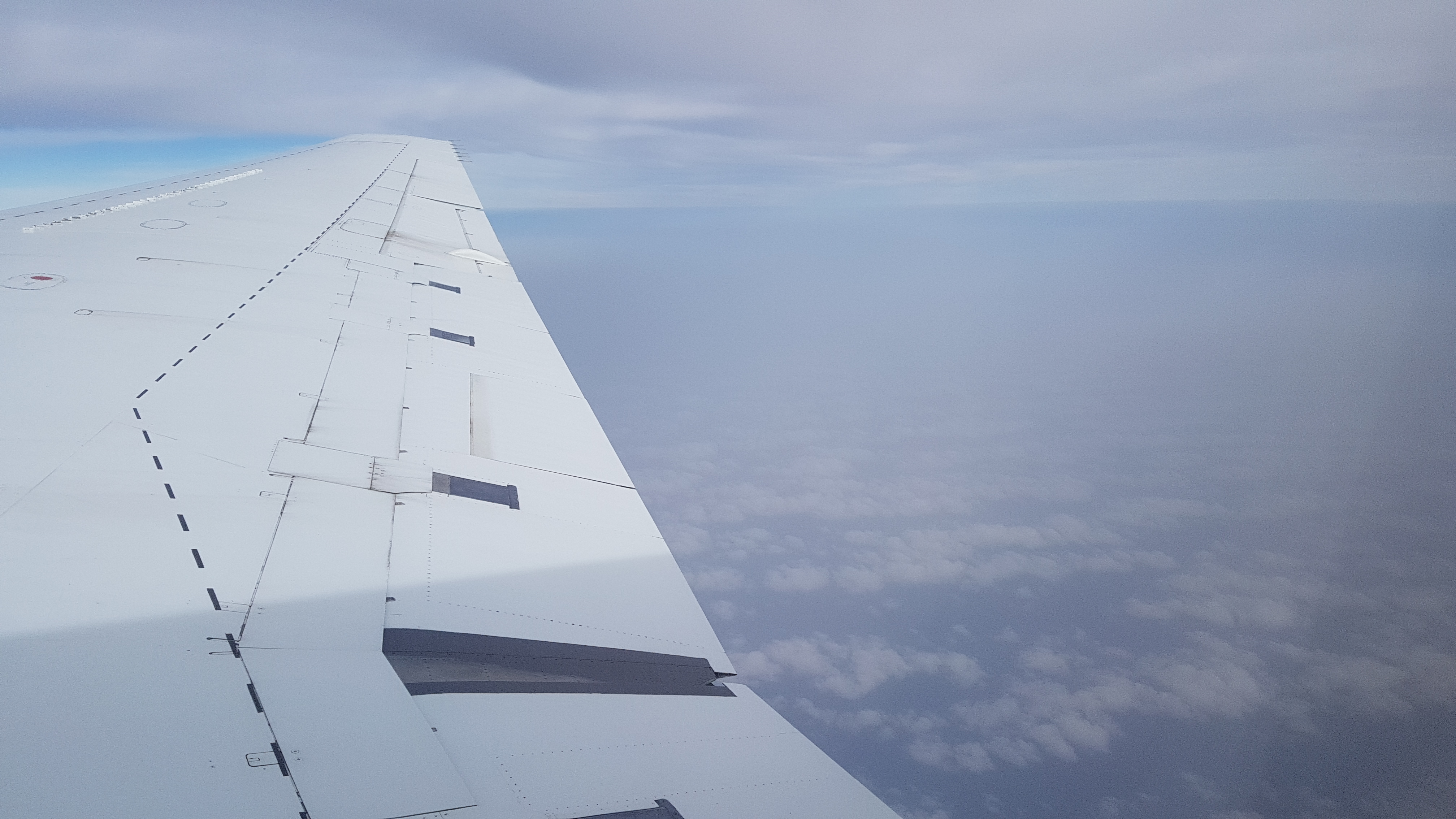
CAPS flying very close to Greenland's mountains.
20 October 2017: Leaving the dust behind
After only one night in Sal we continue our trip. The distance between Sal and Terceira Island, Azores, is for “ATom conditions” very small, so we first fly back south in the direction of the Equator and then turn around to proceed toward the Azores. There is still a large dust layer at the coast of Africa and we are able to get several profile measurements, which show that there is probably a biomass-burning layer in between the dust layer.
Dust layer gets thinner on our way north.
DC-8 at Terceira Island.
19 October 2017: Across the ITCZ into the dust
A bit less than two weeks ago, we went from the northern to the southern hemisphere. Today, we cross again the ITCZ and return back to the northern hemisphere. The flight leads us from Ascension Island to Sal, Cape Verde. The timing of this flight is very good, because there is a very large dust outbreak above the Atlantic Ocean at the African boarder.

High convective clouds at the ITCZ.

Flying above a very thick dust layer.
18 October 2017: Sharks in Ascension
There are a lot of sharks in the Ocean around Ascension Island. During nighttime the Sharks are coming very close to the port of Georgetown. We are very lucky and can see some big sharks. The sharks are probably 4 meters large.
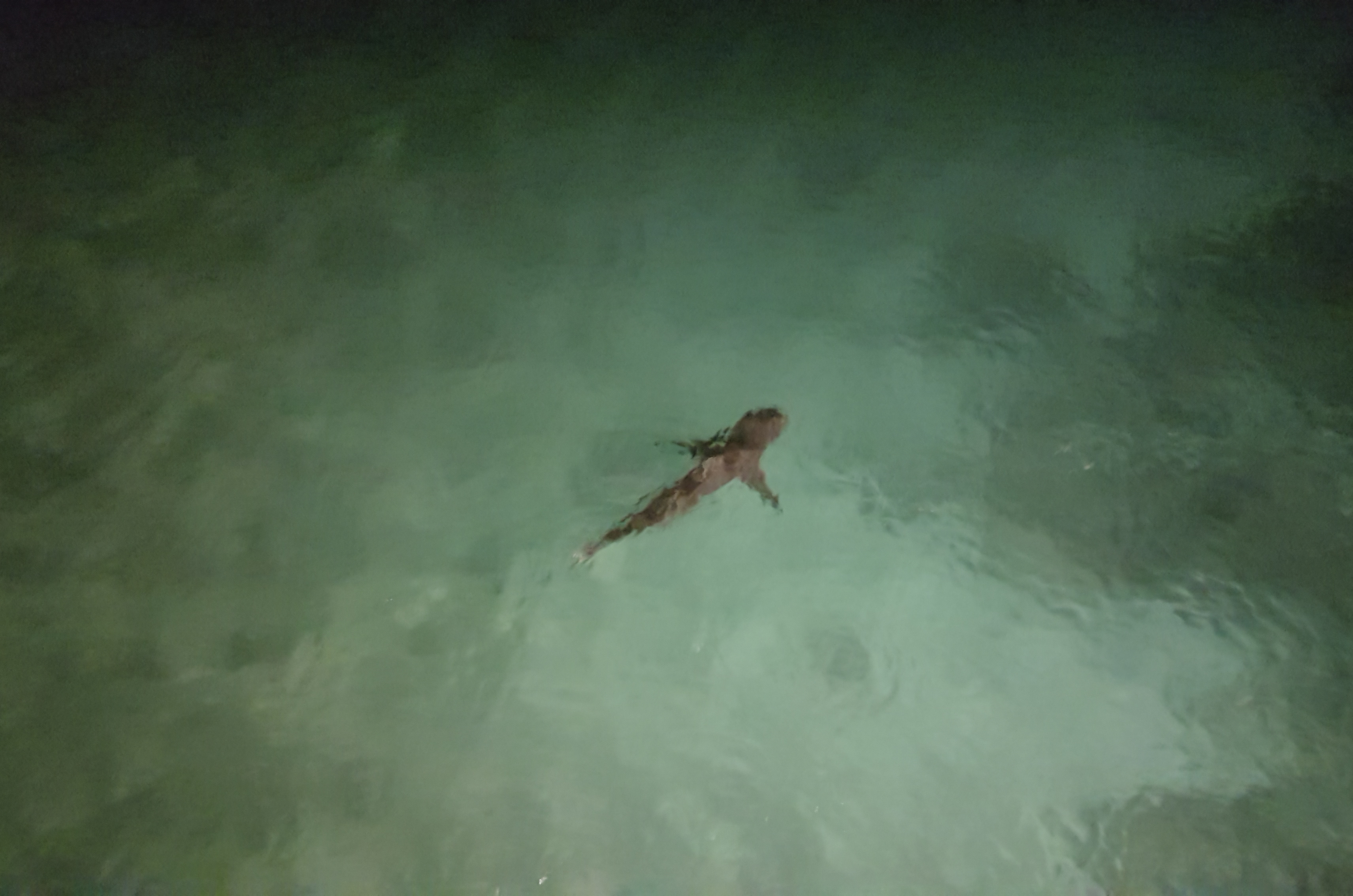
Shark swimming at the port of Georgetown, Ascension.

Shark coming very close to the port.
17 October 2017: Heading northwards
Now we finished the Pacific Ocean part and we start to head again northwards along the Atlantic Ocean. This flight leads latterly into the middle of the Atlantic Ocean – Ascension Island is a volcanic Island far away from every coastline, next to St. Helena (where Napoleon was banned to). During the flight we experienced on the one hand side very high coarse mode aerosol concentrations in the marine boundary layer and on the other hand side very low concentrations above the marine boundary layer. Furthermore, we also crossed a biomass burning plum, which probably had its origin in Africa.
Above the clouds.
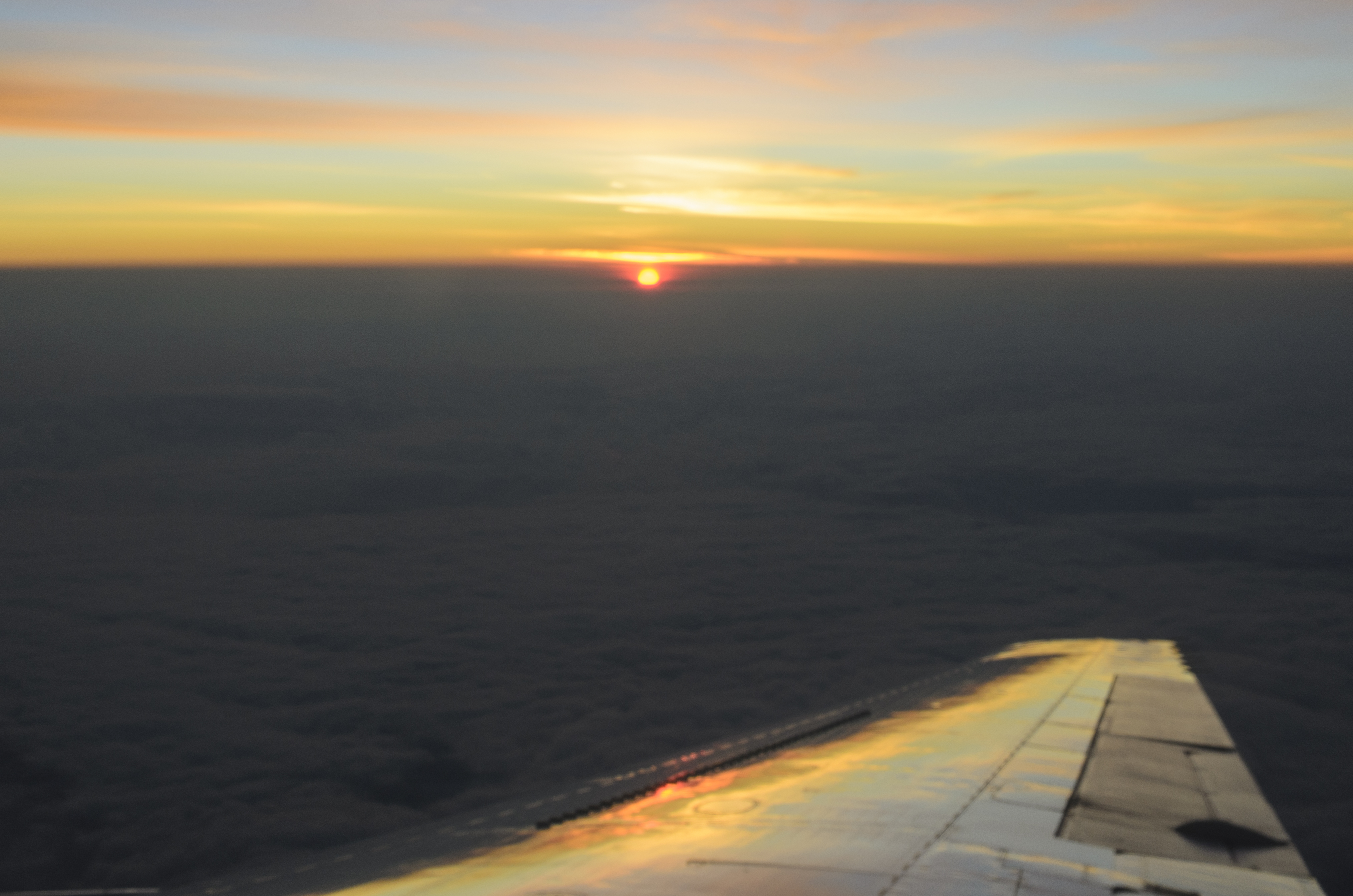
Red sundown on the approach to Ascension Island.
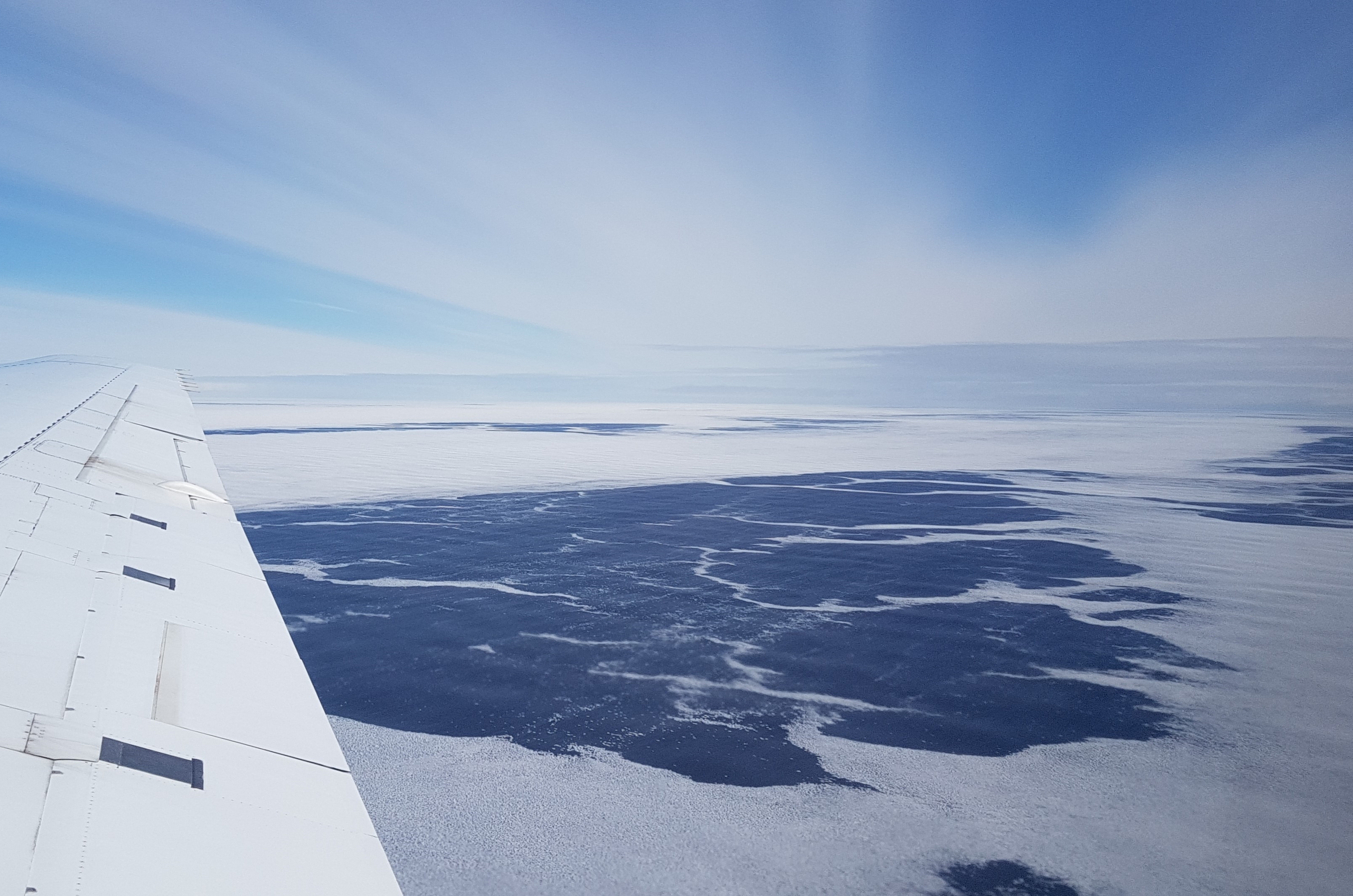
14 October 2017: Antarctica
This day is the perfect day for a flight to Antarctica. Yesterday’s strong wind is gone and the weather forecast for Antarctica is perfect. Goal of that flight is to measure inside the ozone hole. On our way to the Antarctic we pass several very nice icebergs. There are no low clouds at the shelf ice boarder and further land inwards, so we can fly at 500 ft above the ice. At higher levels we probably measured a cirrus cloud, which developed through homogeneous freezing.
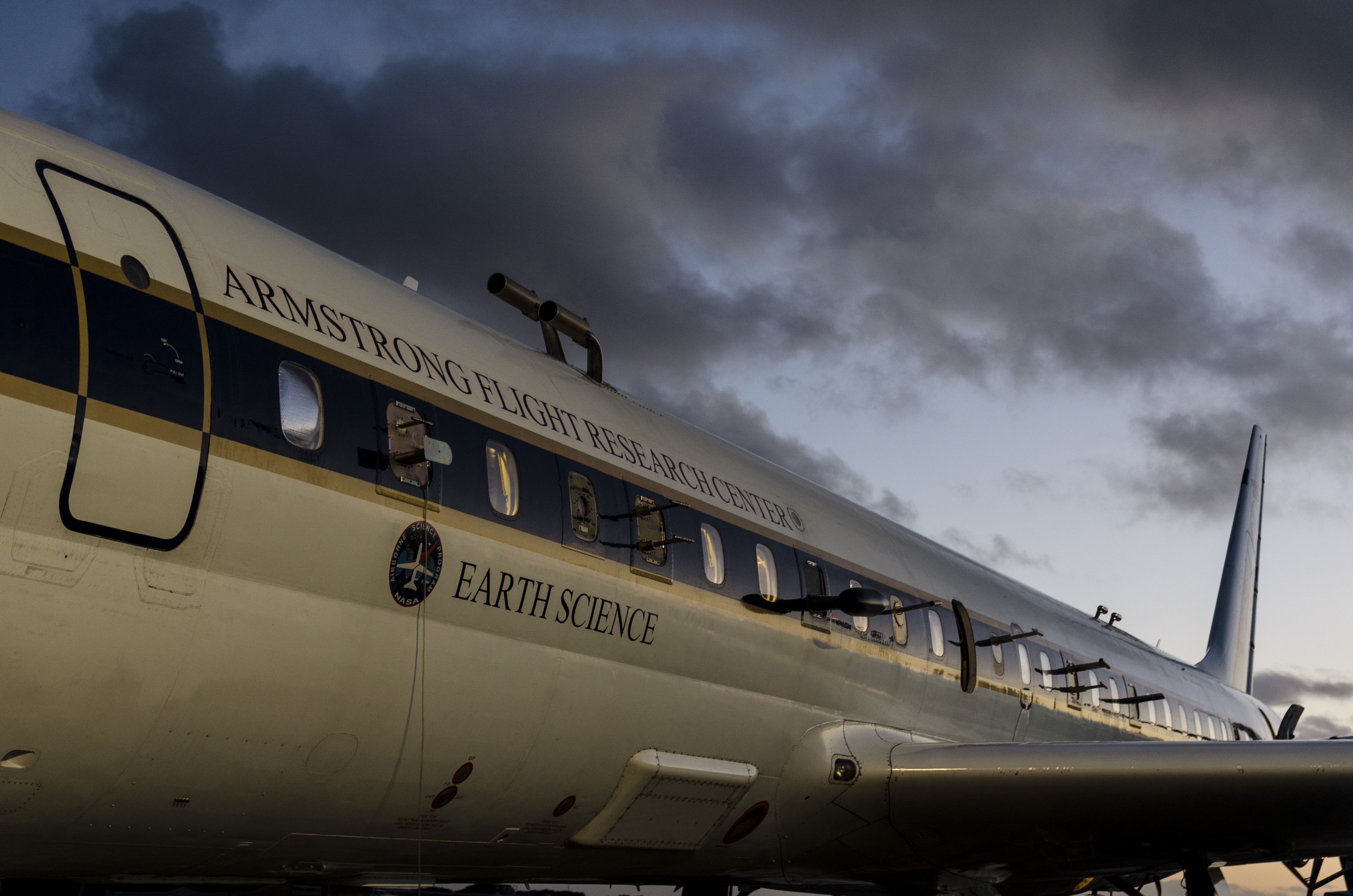
DC-8 with left side inlets of several instruments.
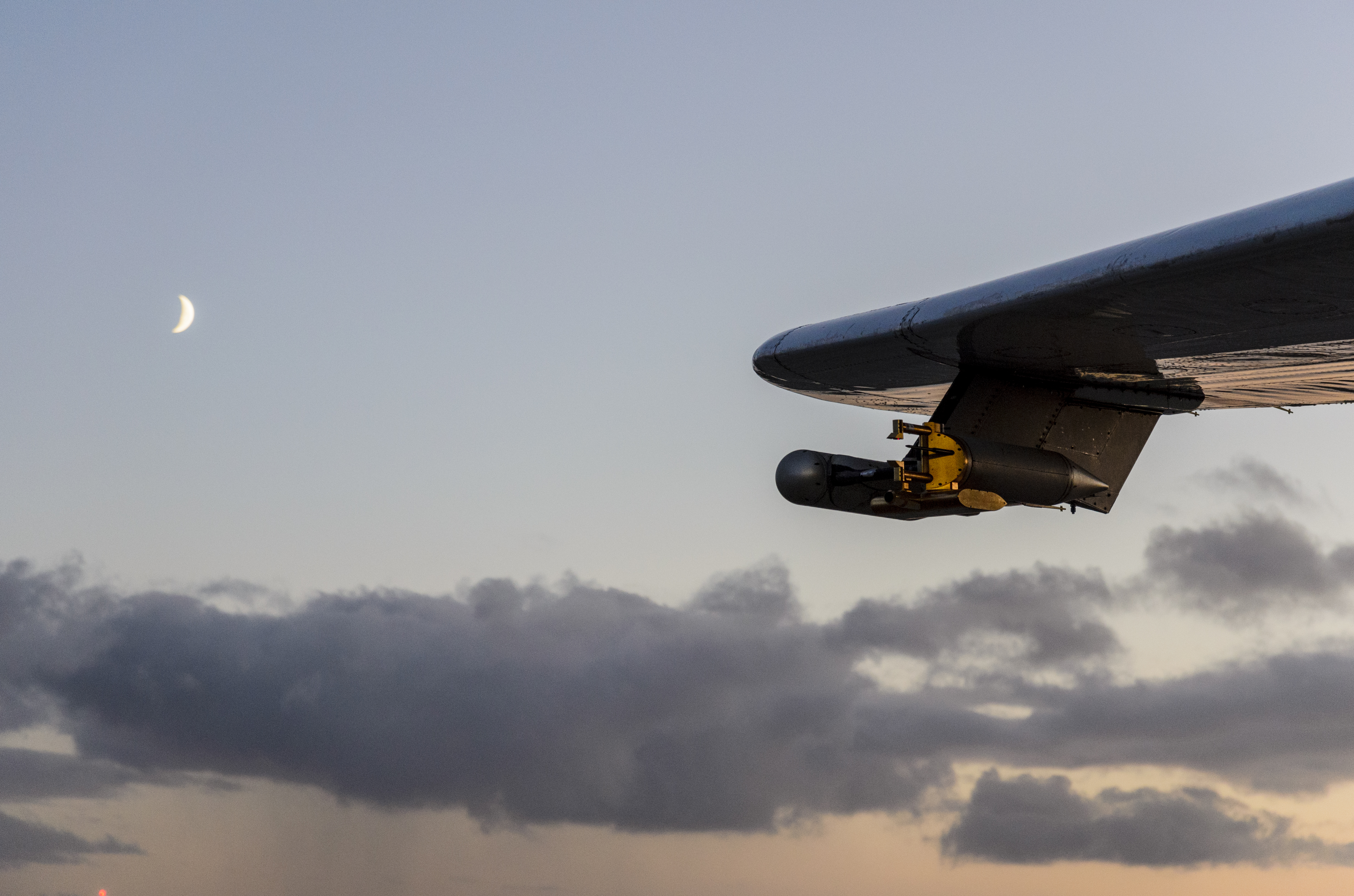
CAPS with the moon.
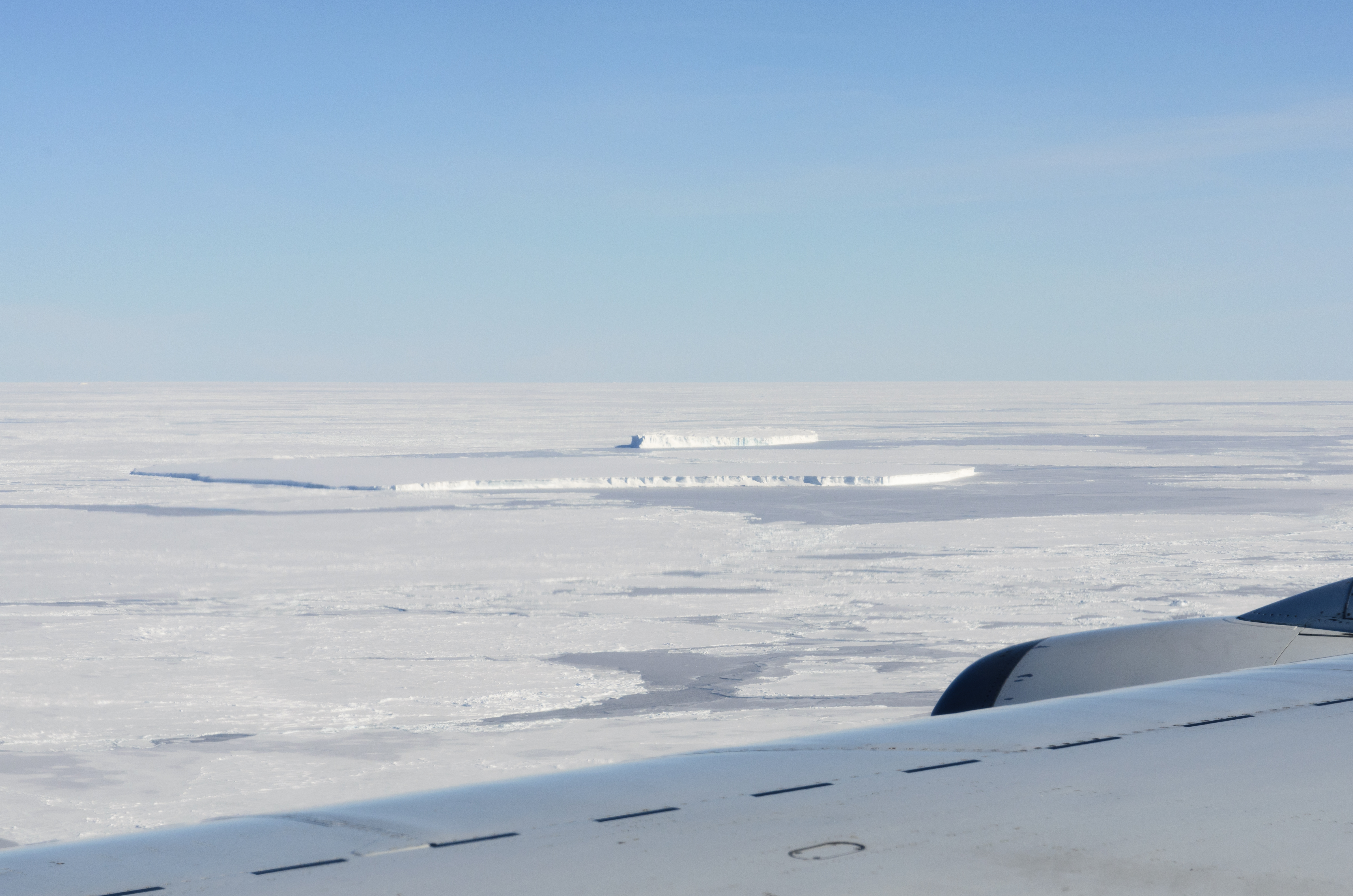
Icebergs on the way to Antarctica.
Glaciers in Antarctica.

Approaching the shelf ice border.
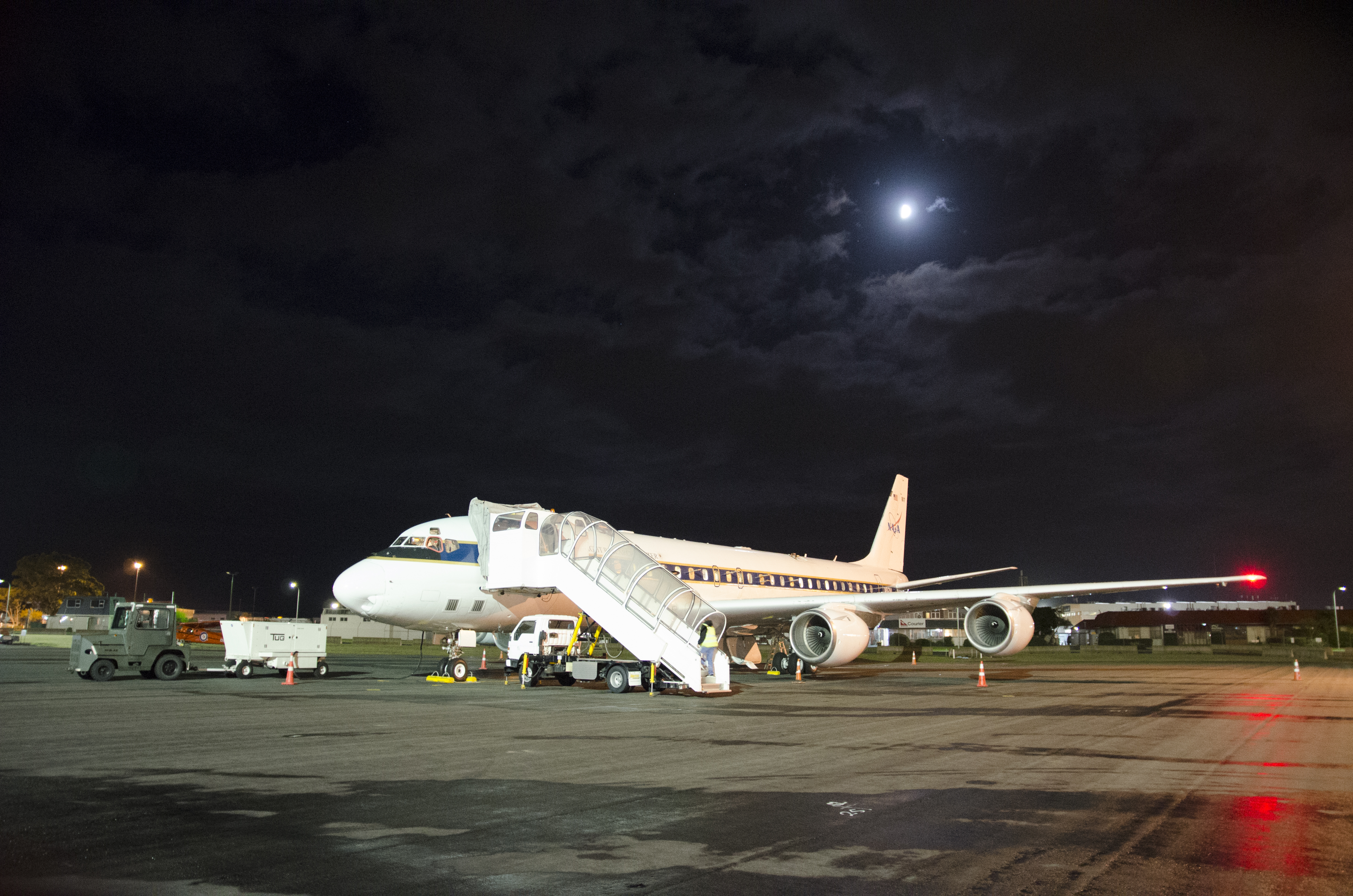
13 October 2017: Windy Punta Arenas
The maintenance day before our flight to Antarctica is a very windy day. Wind speeds are forecasted to be between 60 and 70 km/h with gusts up to 100 km/h. That circumstances made the replacement of one sensor and the calibration of the CAPS outside at the wing to a real adventure. Everything that wasn’t secured properly, would be blown away immediately.
Calibration outside at the wingtip of the DC-8.
Very high wind speeds at the maintenance day in Punta Arenas.
11 October 2017: Sea ice and icebergs
The take off for the flight from Christchurch to Punta Arenas, Chile, is very early – when we arrive at the DC-8 the moon was shining bright above the DC-8. During the flight we approach the Antarctic region more and more. Suddenly, there was ice on top of the water and after some time we can see the first icebergs. We are happy to measure a lot of cirrus and mixed phase clouds between 10 km and 200m above the sea and again some parts of the biomass burning plume, which we saw in the flight from Fiji to Christchurch.
Early take off in Christchurch. The DC-8 with the moon in the background.
Sea ice.

Flying in low altitude near some icebergs.
8 October 2017: From Fiji to Kiwi
There is a lot of biomass burning in the air. During the flight from Fiji to Christchurch, New Zealand, we sample several times in a lifted biomass burning plume. Due to the extensive payload, with all different kinds of instruments, we not only know the number concentration and the size of the measured aerosol but also know which kind of aerosol we sample. Beside the nice aerosol measurements we got some more very nice cloud measurements.
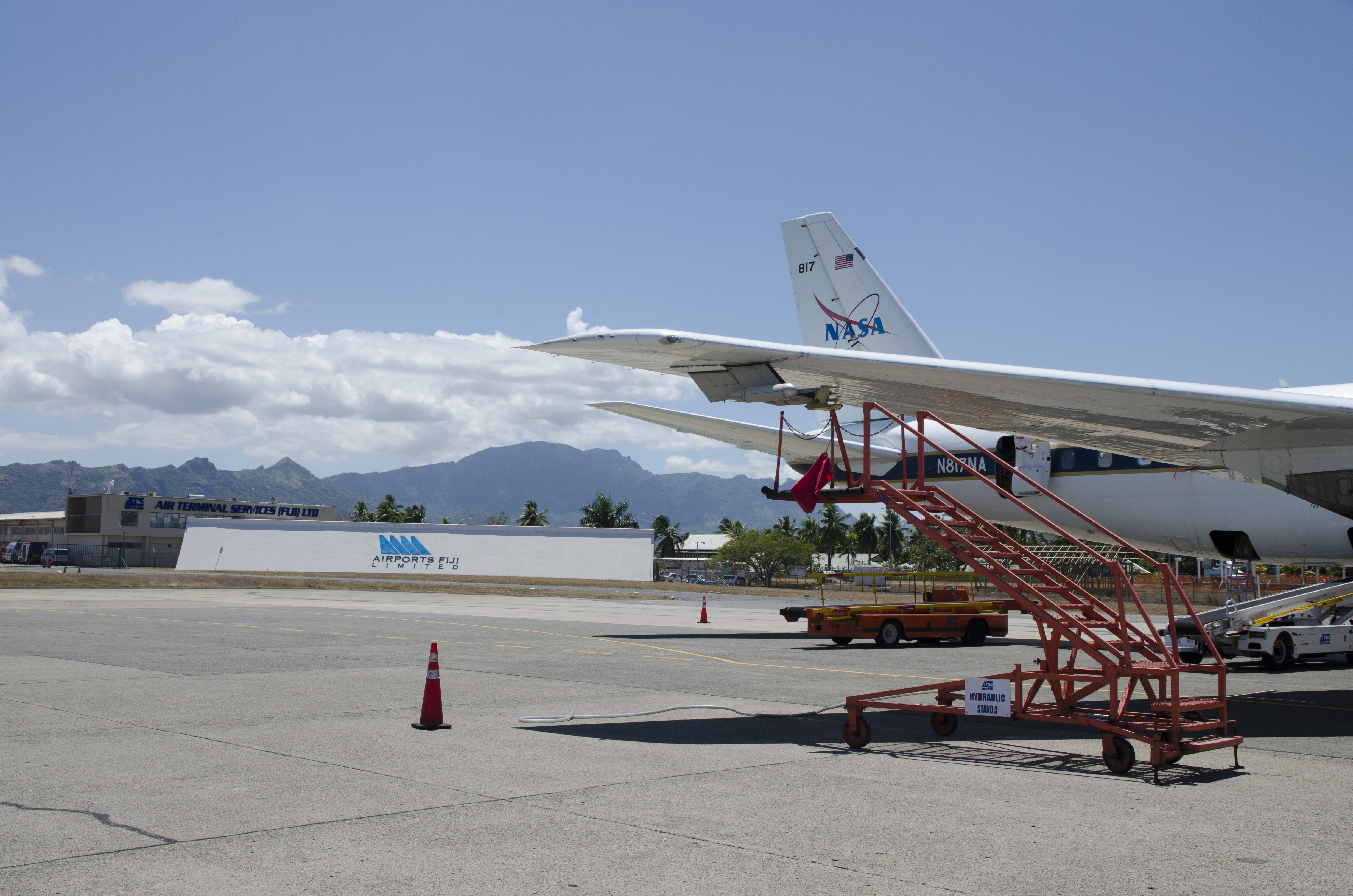
Calibration setup at the airport in Fiji.
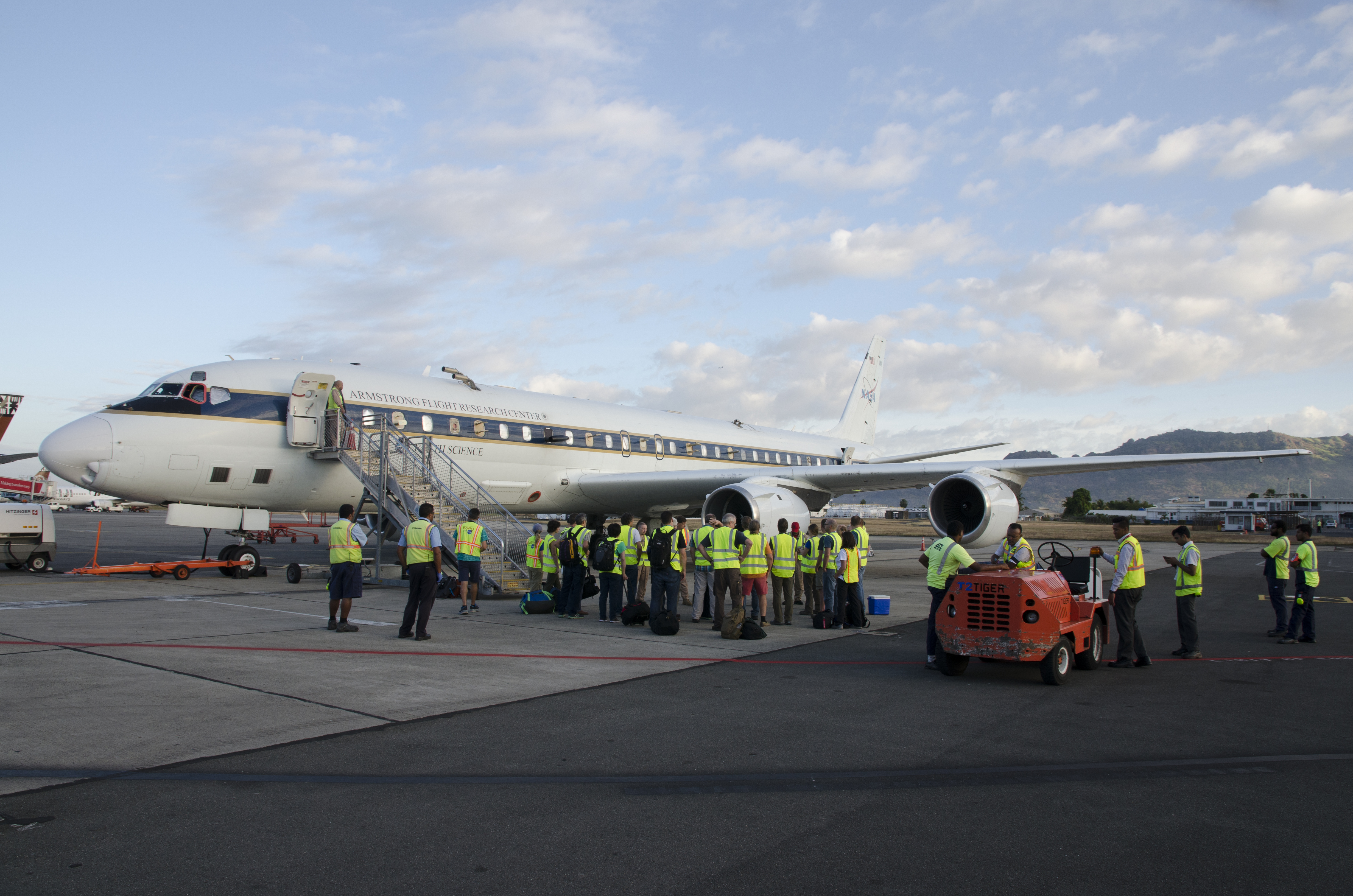
Crew briefing in front of the DC-8 in Fiji.
6 October 2017: To the southern hemisphere
We cross the Equator and the Inner tropical Convergence Zone (ITCZ) and fly from Hawai’i to Fiji. Our flight during ATom are more or less all the time very similar: During our flight from one location to the next location we do several ascends and descends between 500 ft and max. altitude, which is determined either by the aircrafts capability or by the allowance of the air traffic control. During the low levels of the flight from Hawai’i to Fiji we were able to measure very high aerosol concentrations in the boundary layer above the pacific ocean.
Lots of aerosol in the boundary layer.
Clouds at the ITCZ.
4 October 2017: Back to the south
Our next flight goes back to the south, but actually we will still be in the USA. We fly from Anchorage to Kona, Hawai’i. Due to an approaching Storm and to get all our objectives for this flight, we need to take off quite early. On the way to Kona we do another missed approach in Cold Bay, which is a very small Town in Alaska. During the entire flight we see and measure a lot of clouds.
Low approach in Cold Bay, Alaska.
Clouds on the way to Kona, Hawaii.
1 October 2017: The deployment begins
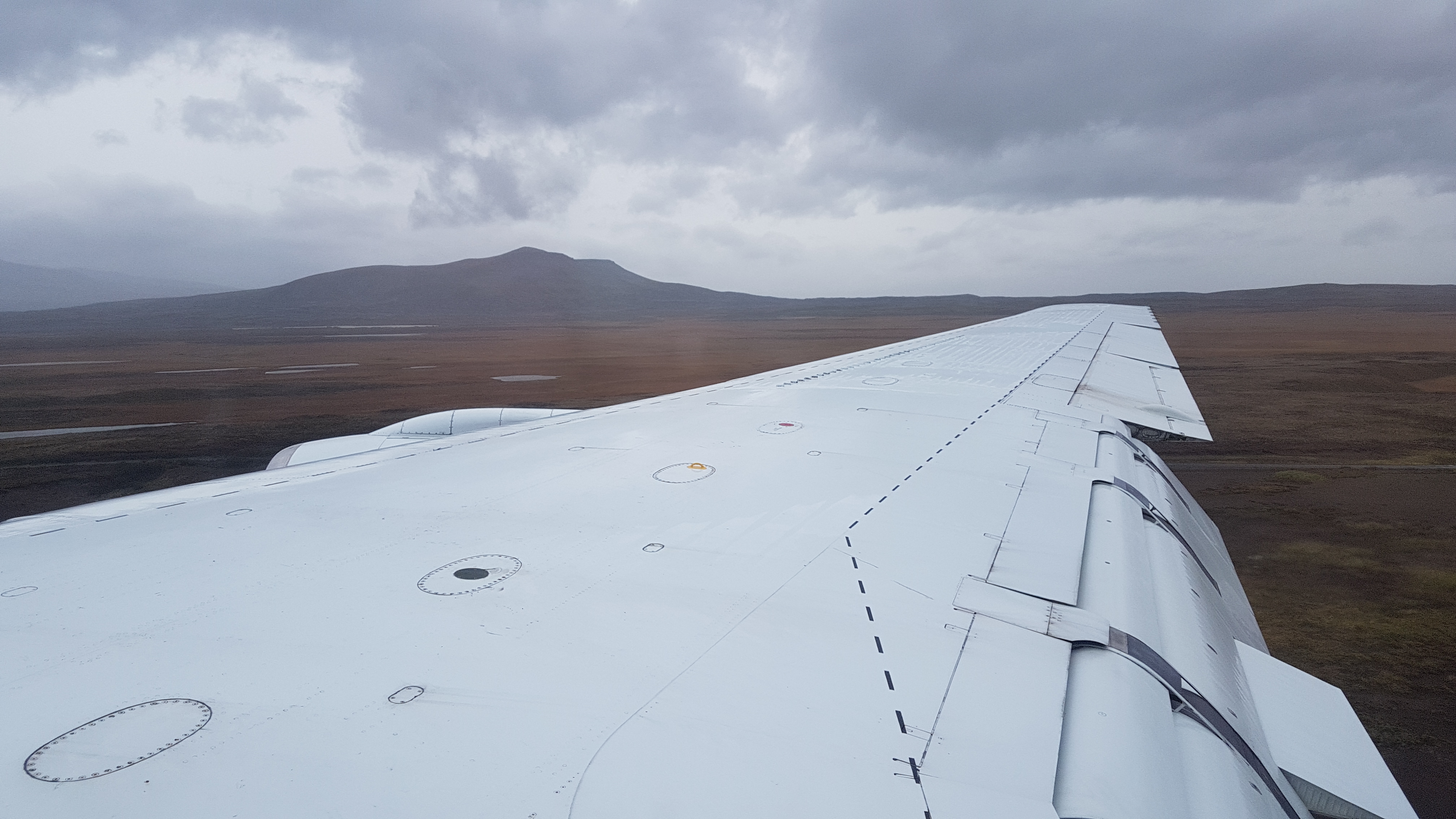
The DC-8 is packed and everyone is ready for the deployment. The first deployment flight leads us to the arctic, across Alaska up to 72,7°N, where we turned around to head for our first stop, Anchorage. One the way to Anchorage, we flew a missed approach (i.e. a landing without touching the ground and immediately taking off) at Barrow, a town very north of Alaska.
CAPS in the early light of a sunset.
Above the Alaskan mountains and glaciers.
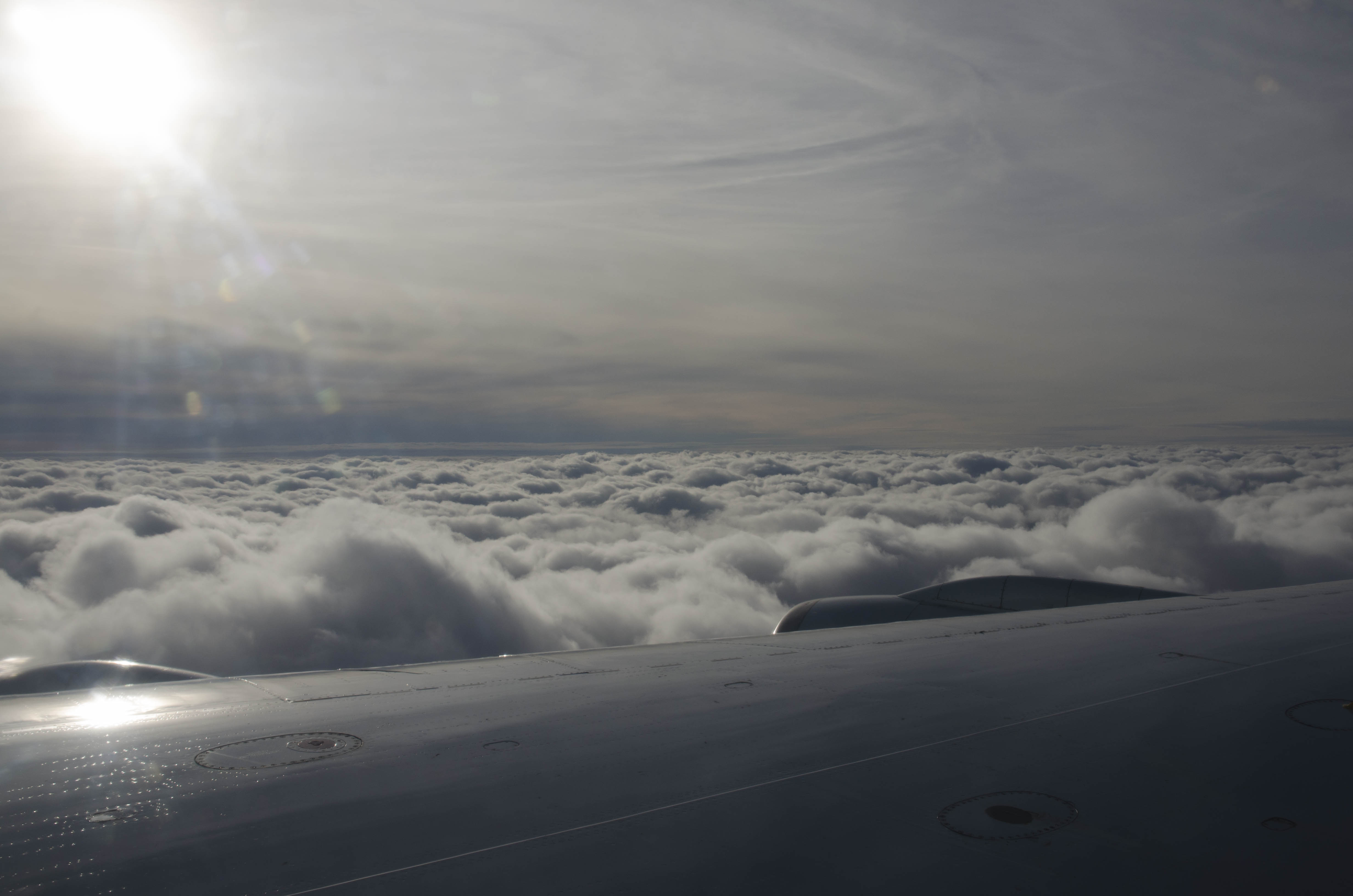
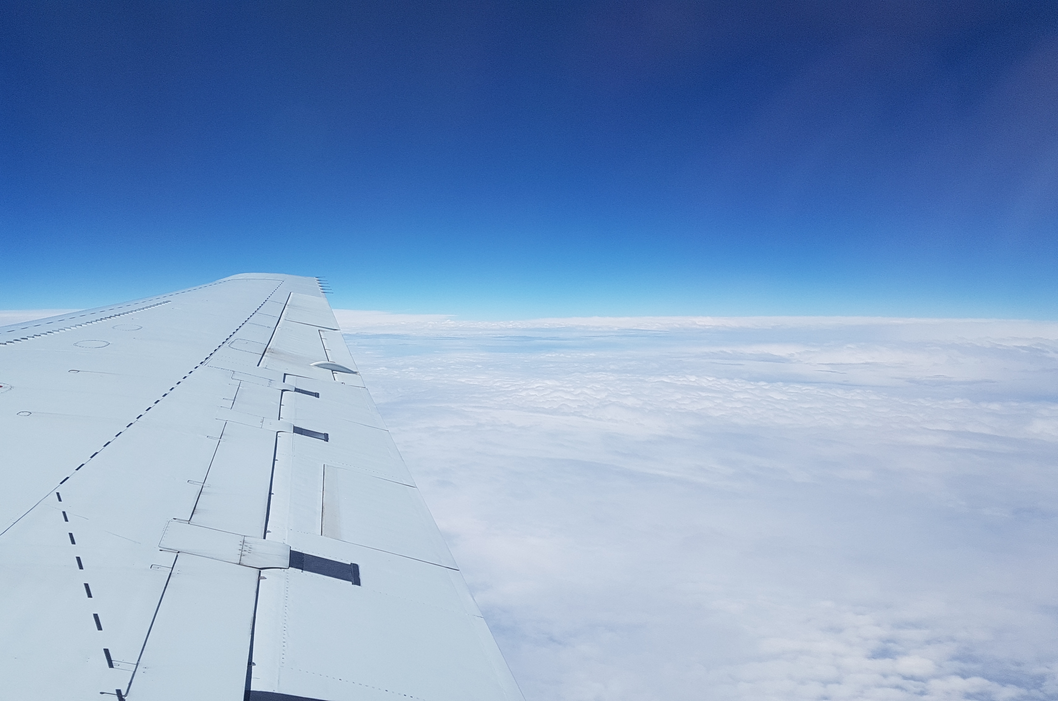
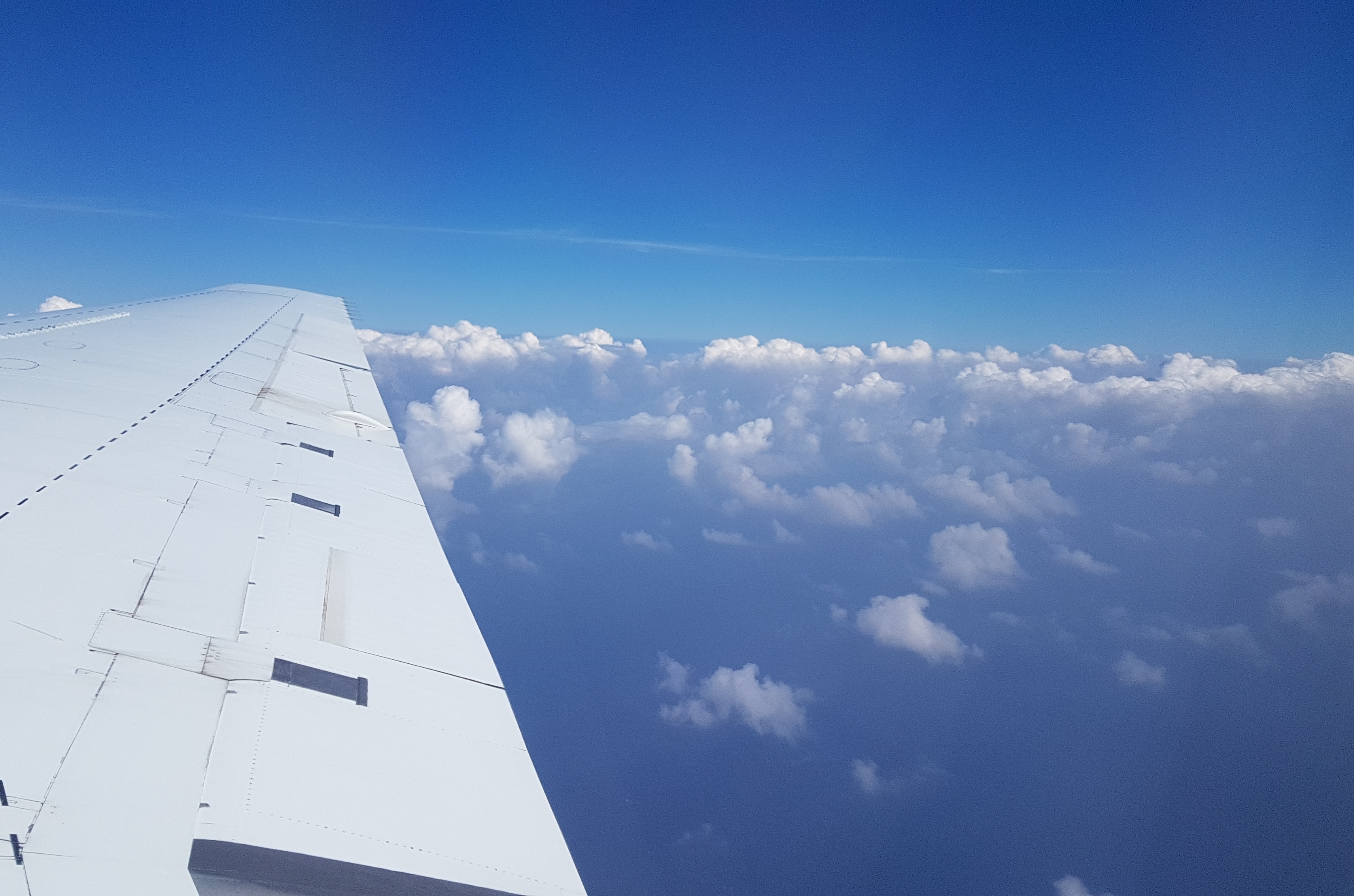
Cruising along an ocean of clouds.
28 September 2017: Equator flight
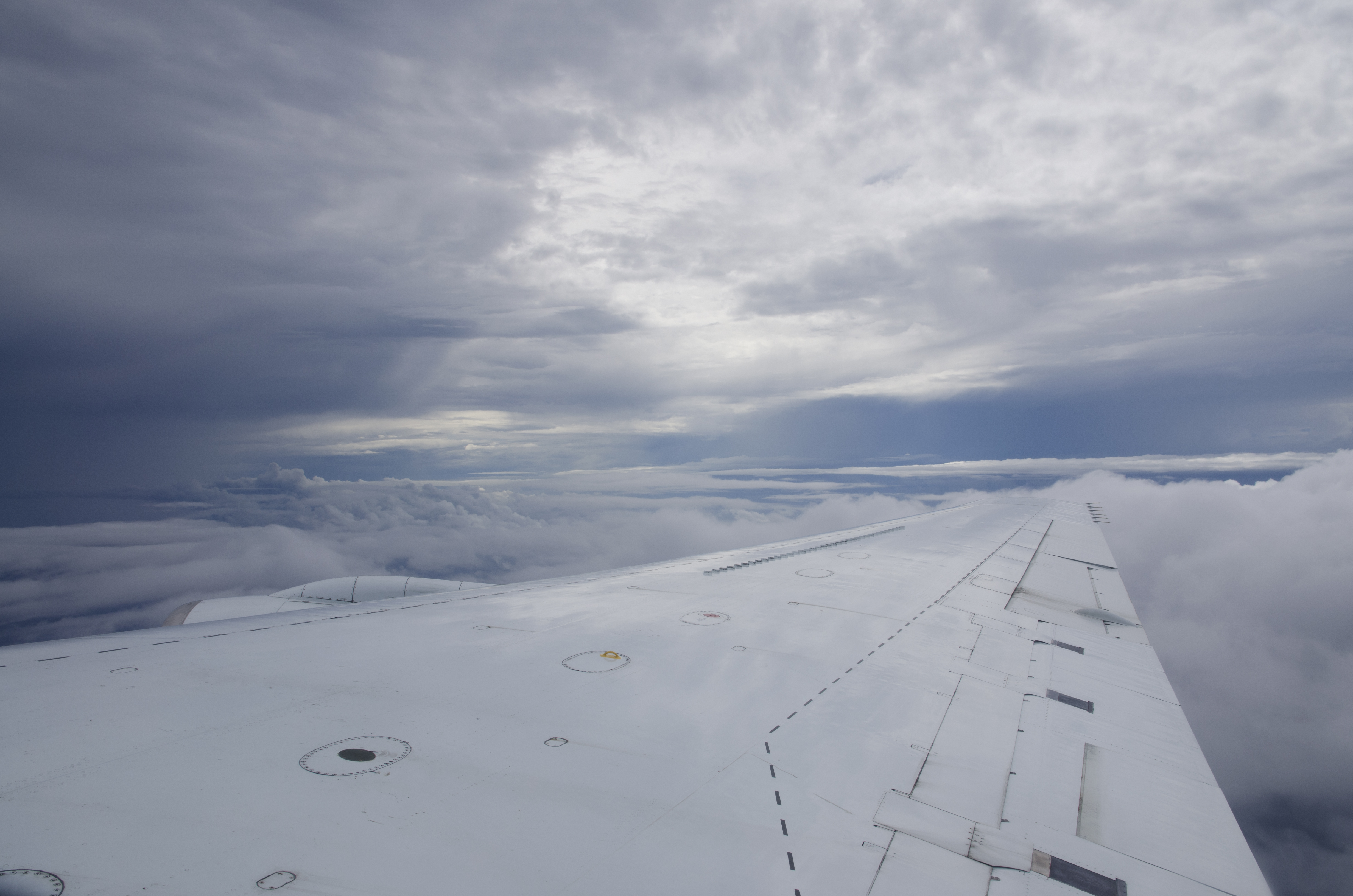
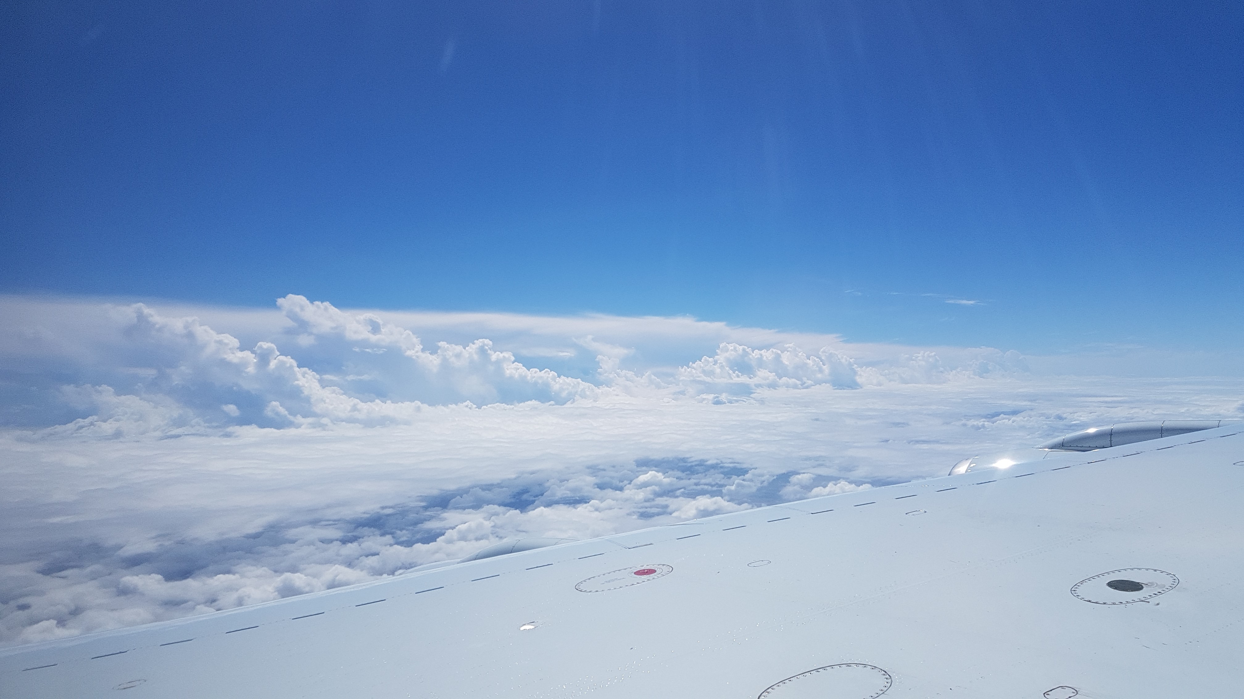
Before sunset, early in the morning, we start for one of the longest ATom flights: From Palmdale to the Equator and back to Palmdale. During the 10h flight, we saw some very nice convective cells at the innertropical convergence zone (ITCZ). Due to safety reasons, we were not able to cross those big convective clouds and we had to change the planed track at some points. Nevertheless, we sampled a lot of clouds during that flight.
DC-8 early in the morning.
CAPS at DC-8 Wing above some convective clouds at the ITCZ.
05-15 September 2017: Preparations for ATom-3
Back in Palmdale, we checked our instrument CAPS (Cloud, Aerosol, and Precipitation Spectrometer) for any transport damage. Luckily, shipping from Vienna to California went smooth and without any trouble this time. After some test runs the probe was installed underneath the right wing of NASA DC-8 airplane, ready for the first test flight (14 October 2017).

Back at the NASA-Hangar in Palmdale/California.
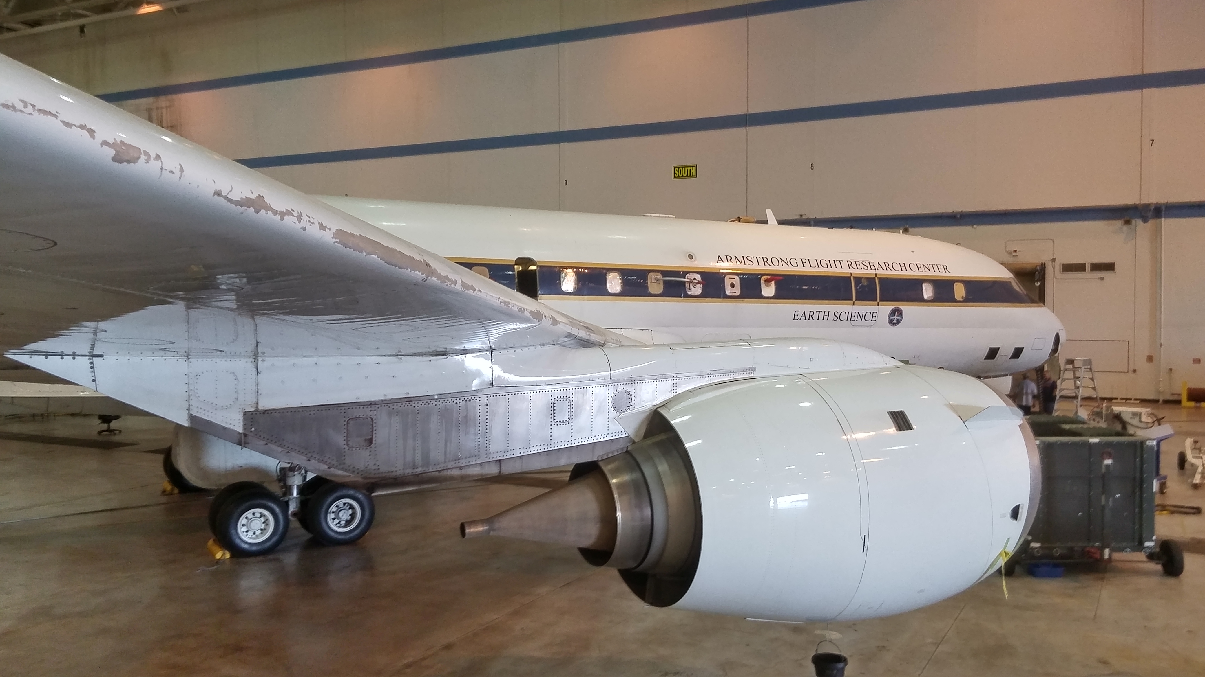
The NASA DC-8 inside the Hangar.
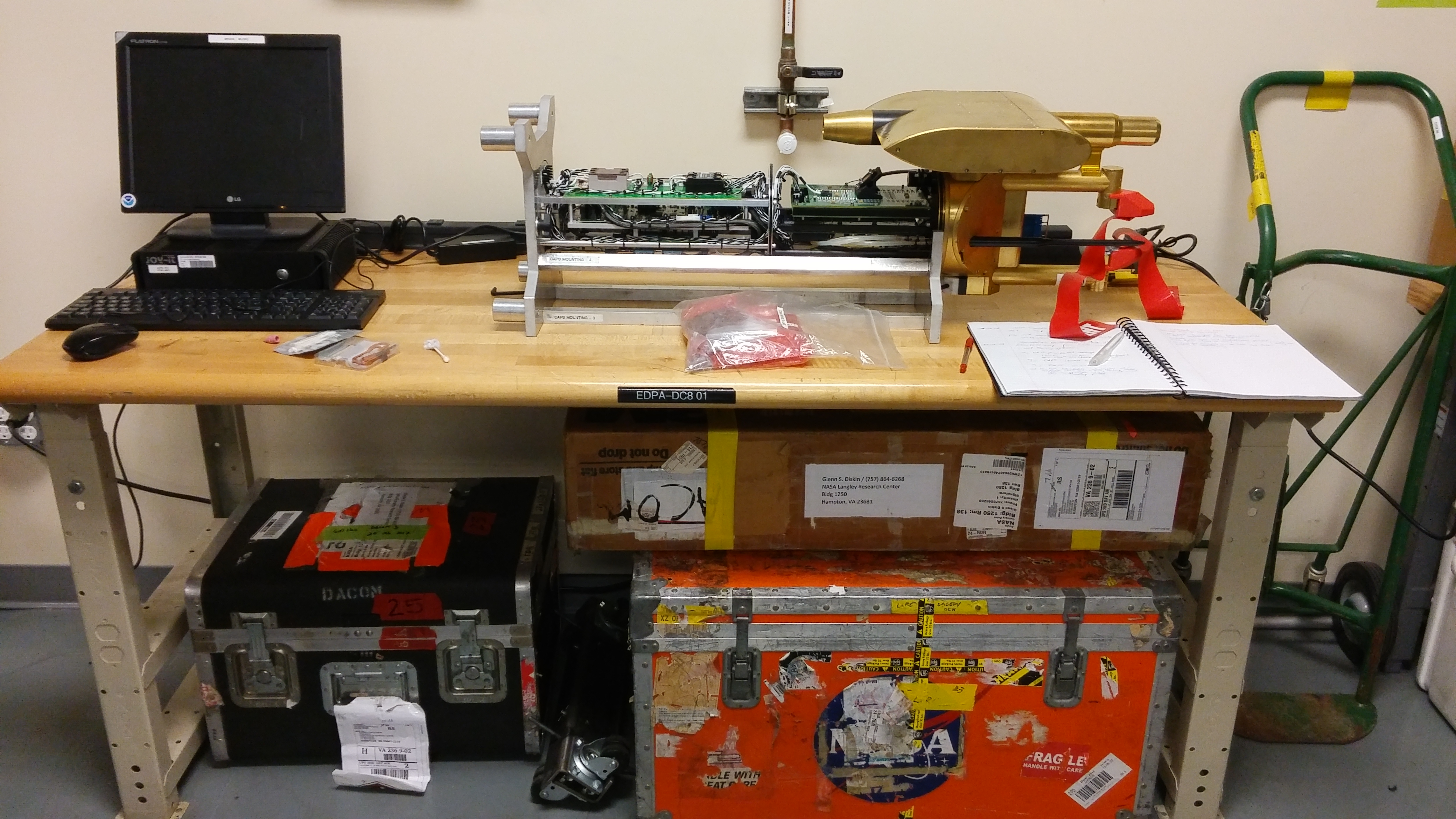
The CAPS ready for inspection.
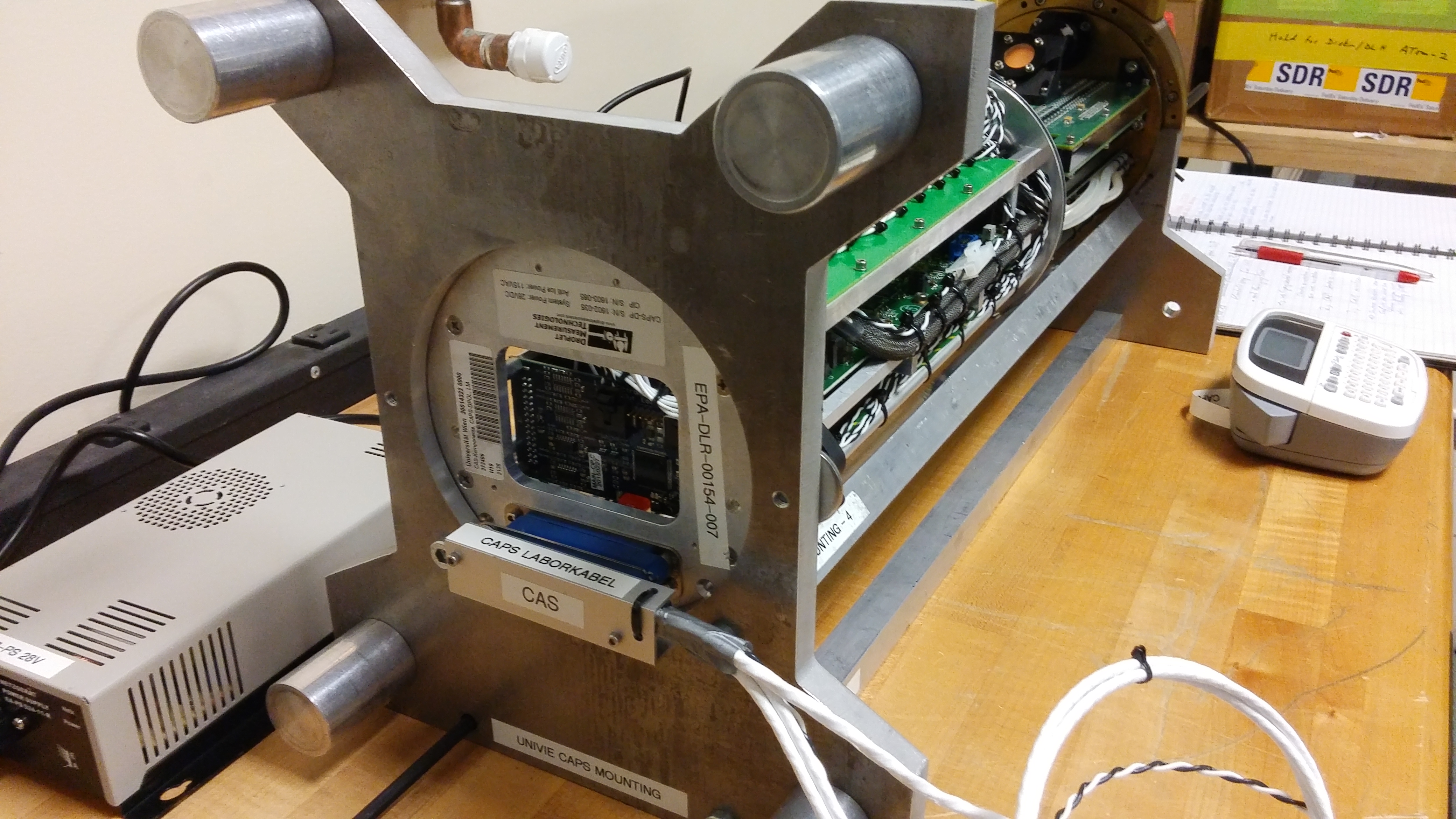
First test of the CAPS after shipping.
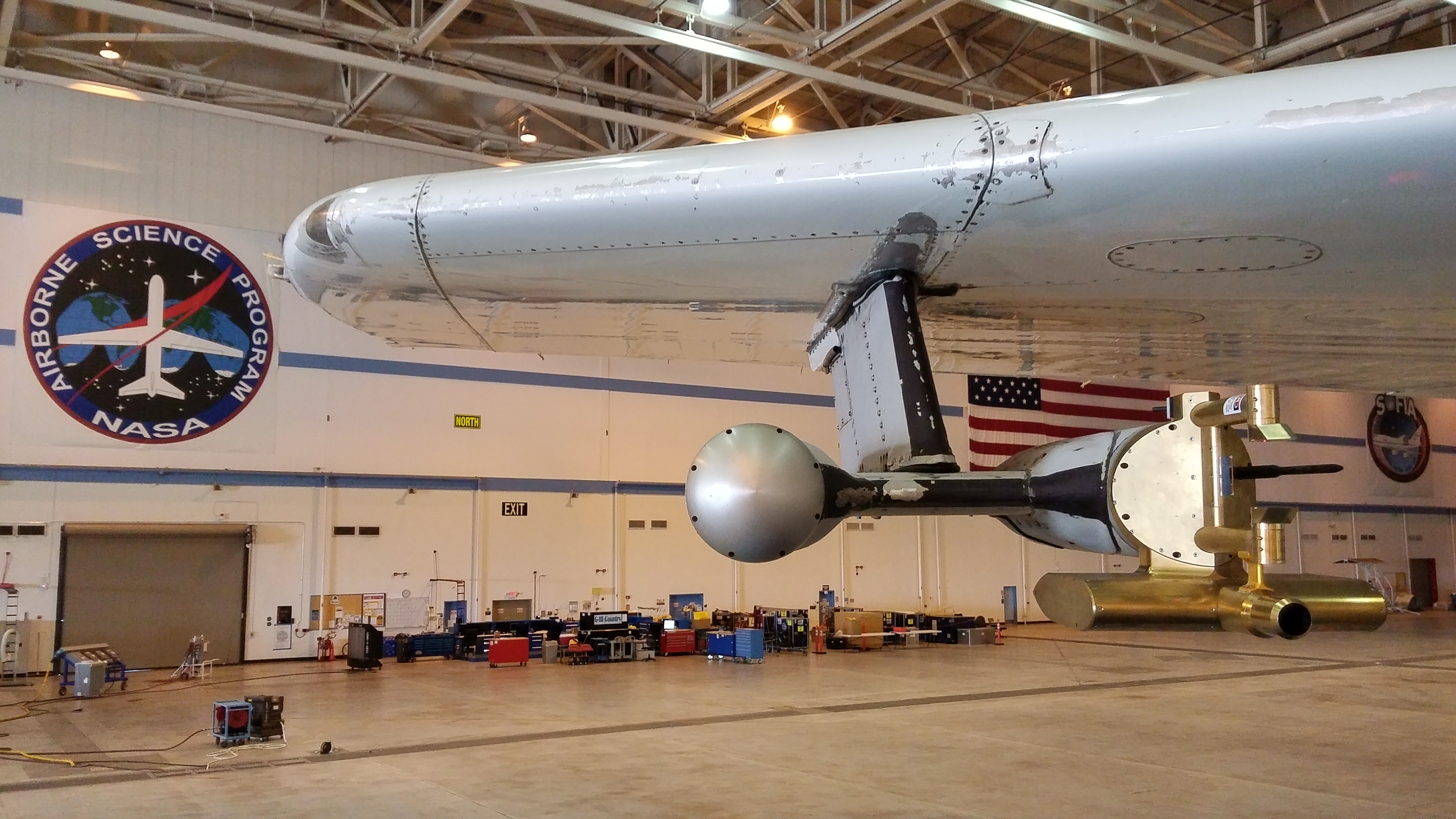
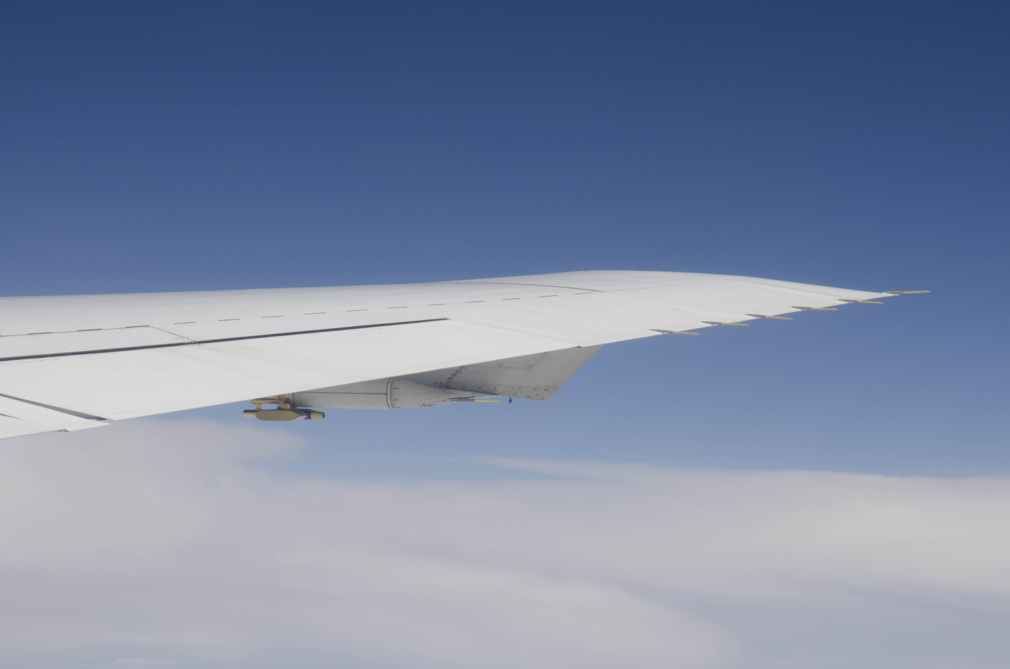
The CAPS mounted underneath the wing of the DC-8.
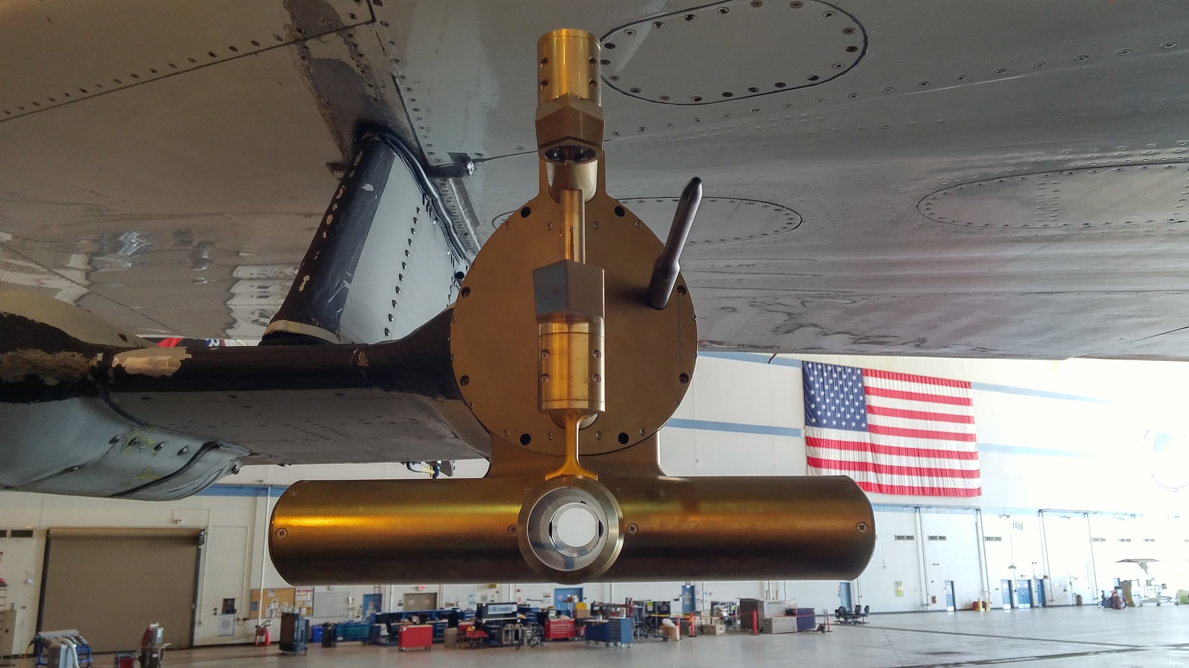
Close-up view of the CAPS underneath the wing of the NASA DC-8 airplane.

The first test flight near Bakersfield.
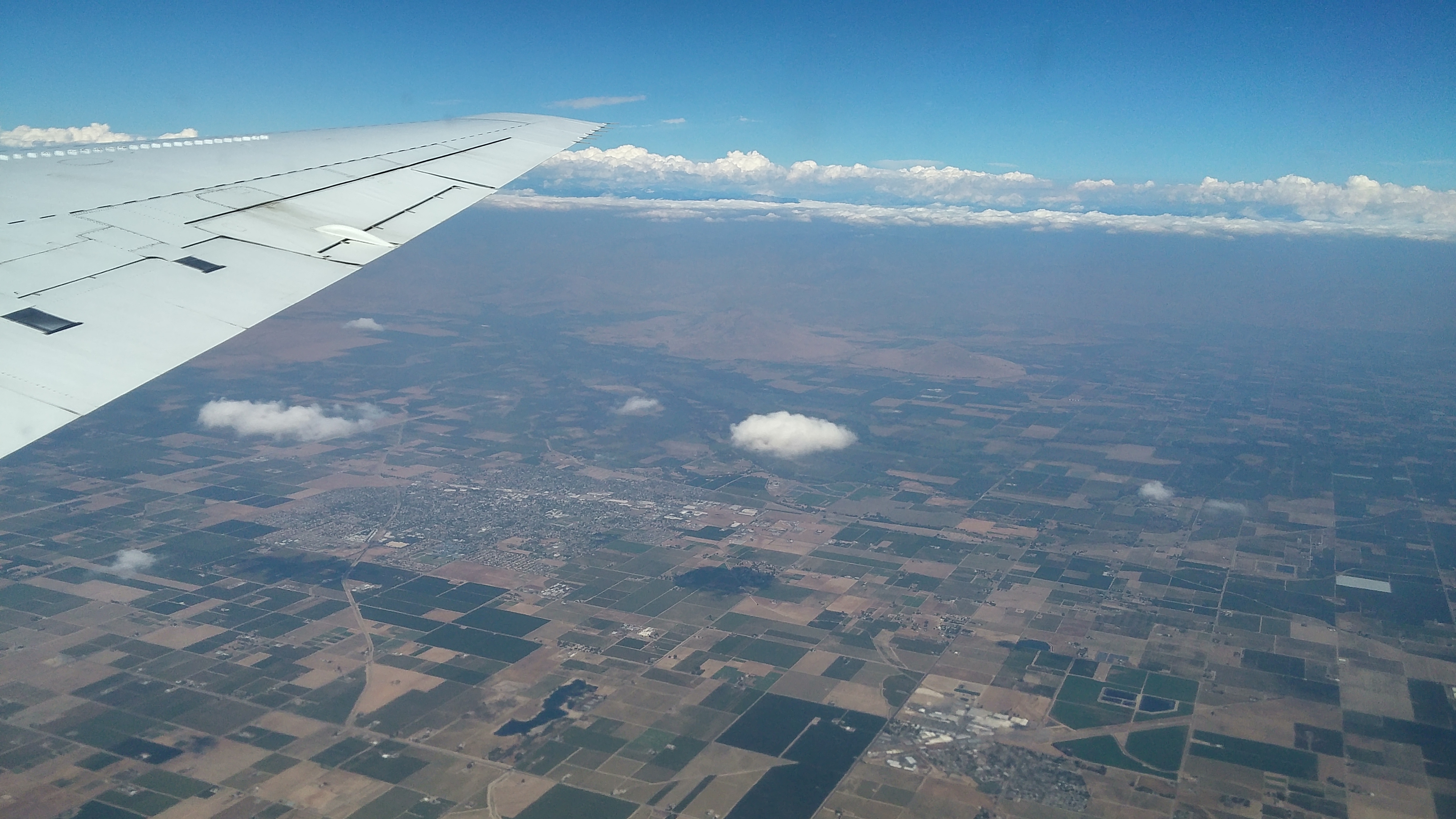
View during the first testflight.
ATom-3 Blog
1, 2, 3 …. There we go
After ATom-1 (Summer 2016) and ATom-2 (Winter 2017), we are back at the DC-8 in Palmdale/California, for ATom-3 – the third part of the ATom Mission.
The deployment of ATom-3 is mostly the same as ATom-1 and ATom-2:
| Nr. | Date | Description |
|---|---|---|
| 1 | 09/28/2017 | from Palmdale, California, south to the Equator and back to Palmdale |
| 2 | 10/01/2017 | from Palmdale to the Arctic and landing in Anchorage, Alaska |
| 3 | 10/04/2017 | from Anchorage south the Pacific Ocean to Kona, Hawaii |
| 4 | 10/06/2017 | from Kona across the Equator to Fiji |
| 5 | 10/09/2017 | from Fiji to Christchurch, New Zealand |
| 6 | 10/12/2017 | from Christchruch to Punta Arenas, Chile |
| 7 | 10/14/2017 | from Punta Arenas to the Antarctic and back to Punta Arenas |
| 8 | 10/17/2017 | from Punta Arenas to Ascension Island in the middle of the Atlantic Ocean |
| 9 | 10/19/2017 | from Ascension Island to Sal, Cap Verde |
| 10 | 10/20/2017 | from Sal to Terceira Island, Azores |
| 11 | 10/23/2017 | from Terciera Island to Thule, Greenland Bangor, Maine, USA |
| 12 | 10/25/2017 | from Thule Bangor to Anchorage |
| 13 | 10/27/2017 | From Anchorage back to Palmdale |
ATom Flight Plan
NASA.gov Video (YouTube)
https://www.youtube.com/watch?v=32L62jl8-Cc
Credit: NASA