Blogs
UniVIE @ FIREX-AQ
Austrian Airborne Aerosol Measurements at FIREX-AQ
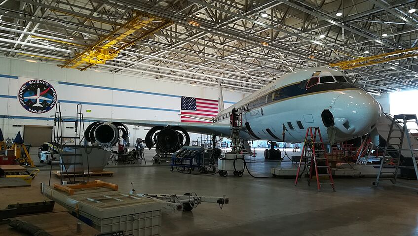
The NOAA-NASA field experiment FIREX-AQ (Fire Influence on Regional to Global Environments Experiment - Air Quality) investigates how wood burns affect air quality and climate change in the atmosphere by making measurements with the NASA DC-8 Airborne Science Laboratory as well as two NOAA Twin Otter research planes (NOAA-CHEM, NOAA-MET) that will fly to wood burning sites in North America.
Additional measurements are performed by two Mobile Laboratories (Aerodyne, NASA Langley) and serveral Ground Sites (Boise/ID, McCall/ID, Missoula/MT, Mount Bachelor/OR) near the burning sites and combined with data from the NASA ER-2 High Altitude Platform, NightFOX UAS and satellites.
The University of Vienna participates with principal investigator Bernadett Weinzierl as "CARE"-team:
Cloud Aerosol and Refractive Index Experiment.
Instrumentation:
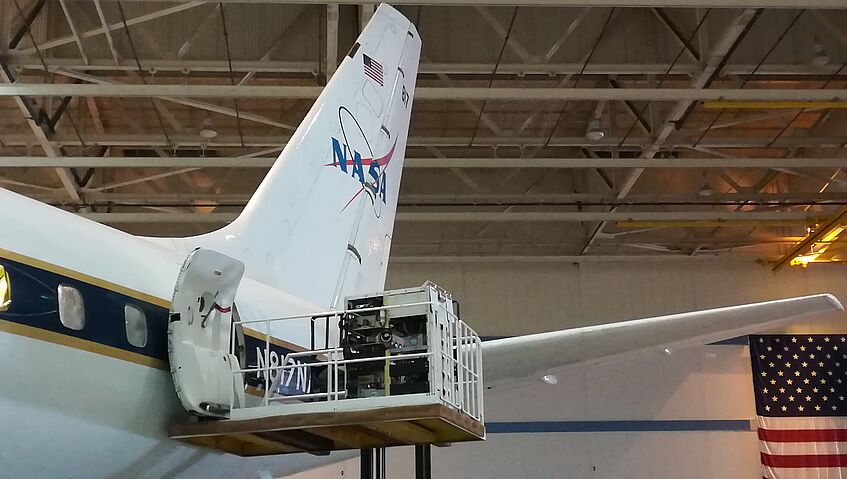
- DMT CAPS (Cloud, Aerosol and Precipitation Spectrometer - wing probe)
number size distribution (0.51 - 50 µm & 12.5 - 930 µm) & images/shape of particles
- DMT PIP (Precipitation Imaging Probe - wing probe):
number size distribution (0.1 - 6.2 mm) & shape/images of particles
- Envitech OPAL (Optical Particle Analyzer - cabin instrument):
number size distribution (0.5 - 5 µm) & refractive index @ 660 nm & 808 nm
If you want to follow the NASA DC-8 during the flights on a map you can use the following link:
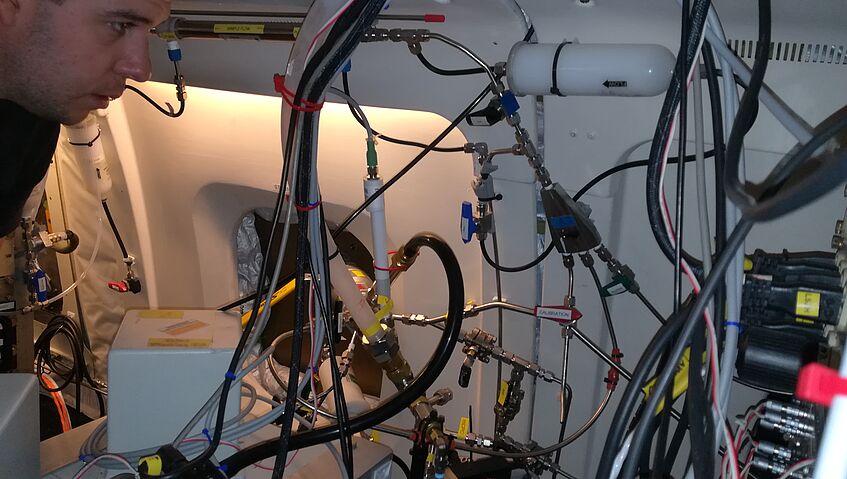
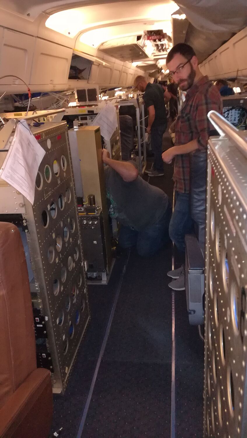
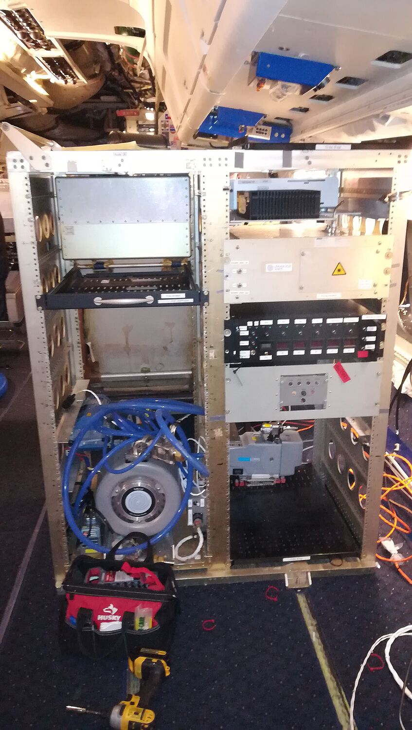
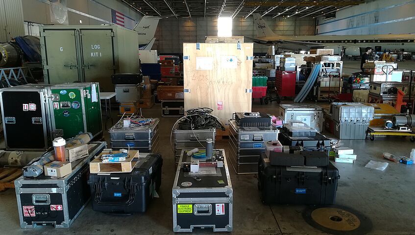
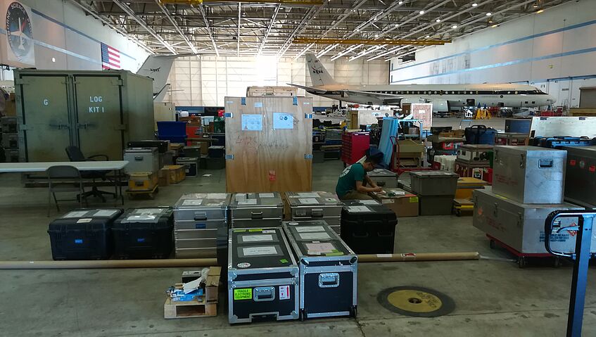
21-24 October 2019: Instrument Download
5 September 2019: Transfer Flight SLN-PMD (MS)
Take-off: 17:37:00 UTC
Landing: 23:09:53 UTC
Fires: Winery 1-5
15 July 2019: Test Flight #01 for FIREX-AQ
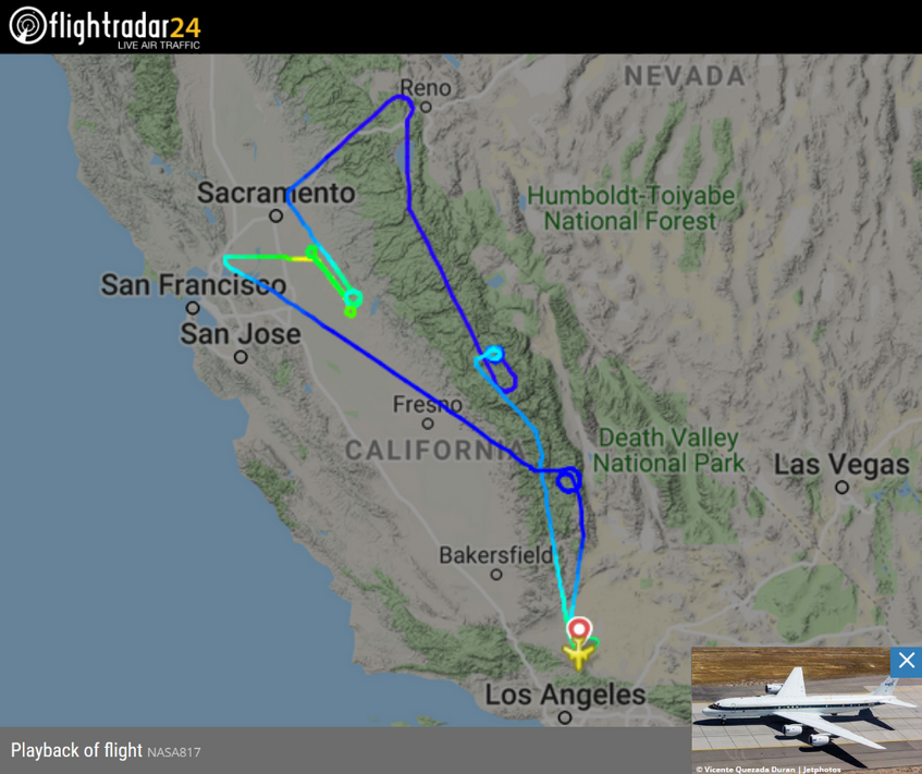
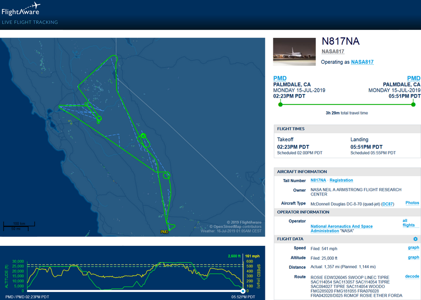
The NASA DC-8 took off (CARE-operator: Max Dollner) at 14:22 LT at the Armstrong Flight Reasearch Center (AFRC) and headed north while climbing to 25.000 ft. After some MMS maneuvers and a spiral over Sequoia National Forest, it took a north-western route to Vacaville. Then the DC-8 turned east for some measurements low above the ground in the Sacramento Valley. Approaching the foot of the cenral Sierra Nevada mountain range, the flying laboratory performed a left 315° spiral and went on in a south-east direction. Reaching the latitude of San Francisco and after some more spirals there, the plane headed back to Sacramento while gaining some height. After a turn to the north-east and climbing to 30.000 ft., the DC-8 passed over the Tahoe National Forest. On its way back to Palmdale over the Sierre Nevada mountain range, some more maneuvers were performed over Sierra National Forest. The plane landed as scheduled at 17:52 LT after a successful flight.
Contact:
Univ.-Prof. Dr. Bernadett Weinzierl
News coverage - outreach
- 24 August 2019: NBC 3KSN - "Testing the effect of wildfires on the environment"
- 22 August 2019: NASA Earth - "Sampling the Castle Fire"
- 20 August 2019: Salina Journal - "NASA in Salina to study impact of cross country fires on air quality"
- 18 August 2019: NBCnews.com - "Rare 'fire cloud' looks other-worldly in phot snapped from NASA's flying lab"
- 12 August 2019: NASA Earth Observatory - "Flying through a Fire Cloud"
- 03 August 2019: Idaho Statesman - "Just how bad are wildfires on our health? A high-tech lab will fly into smoke to find out"
- 28 July 2019: Facebook.com/nasaearth - "NASA Earth interviews FIREX-AQ participants on facebook live"
- 28 July 2019: Facebook.com/NASAExpeditions/
Links
- NOAA FIREX-AQ Project Website: https://www.esrl.noaa.gov/csd/projects/firex-aq/
- NASA FIREX-AQ Project Website: https://espo.nasa.gov/firex-aq/
Contact
Head
Univ-Prof. Dr. Bernadett Weinzierl
Phone: +43-1-4277-73412
E-mail: bernadett.weinzierl@univie.ac.at
Boltzmanngasse 5, 1090 Wien, Austria
Assistant
Mag. Elisa Farnleitner
Phone: +43-1-4277-734 24
E-mail: elisa.farnleitner@univie.ac.at
Boltzmanngasse 5, 1090 Wien, Austria
Katharina Rumplmair, BA
Phone: +43-1-4277-734 38
E-mail: katharina.rumplmair@univie.ac.at
Boltzmanngasse 5, 1090 Wien, Austria

